Sunday 21 November 2010

Lubumbashi to Bangui

DAY 2, LEG 9 - Lubumbashi to Bangui

This is the first night flight of the tour and the longest sector so far at 1200nm!  With a flight time of over four hours it should have me arriving in Bangui around 2130 local time which seems a good time to call it a day.  Bangui was chosen as the next destination as the DR Congo has very few 24 hour airports except for those on the west coast, so I decided to make more progress northbound towards Europe.  It means flying the entire length of the huge DRC and really highlights the remoteness of this part of central Africa.

The CAR is one of the poorest countries in the world, and one of the 10 poorest in Africa.  The informal economy and trade between towns is considered more valuable to the locals.  A French colony until 1958, the CAR is now independent but has been plagued with military rule, mutinies, and political power struggles.  The economy depends on the trade of foodcrops and cotton with exports to the Far East and Europe, but diamonds dominate the economy.  Bangui is the national capital and economic hub.  The airport and river port link the city internationally.

Leaving Lubumbashi at night.  The elevation of the airports I have been visiting has slowly climbed since we left the west coast of Namibia - Lubumbashi is 4300ft above sea level!

Moonrise.


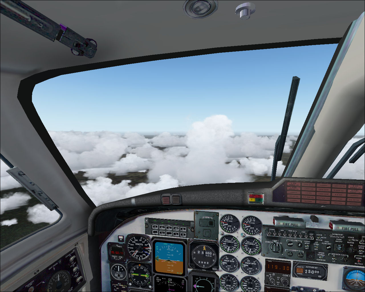
Very quiet night in the cockpit.


Approach to Bangui crossing the Oubangui River, the border between DR Congo and Central African Republic.


Getting the bags out for a night in Bangui.


FZQA - FEFF stats

Take off time:    1730
Landing time:     2123
Flight time:        03:53
Fuel used:          1574kg / 3463lbs

Victoria Falls to Lubumbashi

DAY 2, LEG 8 - Victoria Falls to Lubumbashi

The fuel man at Victoria Falls was a bit eager to fill the aircraft up despite me needing less than half tanks for the next leg to Lubumbashi.  This city in south-eastern Congo is the second largest in the country and relies on copper-mining as its main industry.  Having already landed in Zambia I was to fly all the way from Zimbabwe to DRC Congo for a fuel stop before heading to the Central African Republic for the night.

Lake Kariba again heading back up to Lusaka.

Sun beginning to set over Kafue National Park.

Storms building over NW Zambia.

Sunset from the cabin.

FVFA - FZQA stats

Take off time:    1533
Landing time:     1720
Flight time:        01:47
Fuel used:          758kg

Saturday 20 November 2010

Progress report

Summary so far...


Legs:                7
Total time:       13:54
Total distance:  4094nm
Fuel used:         6585kg / 14487lbs

Maun to Victoria Falls

DAY 2, LEG 7 - Maun to Victoria Falls

The thunderstorms at Maun had eased and allowed a take off in VFR to head south to explore the Okavango Delta.  However, the weather worsened and I decided it would be sensible to head north again towards the Victoria Falls before the thunderstorms closed in completely.

Climbing over the Okavango Delta in the rain.

More thunderstorms over northern Botswana.

Approaching Victoria Falls


Victoria Falls and bridge - UNESCO world heritage site and "longest" waterfall in the world.

FBMN - FVFA stats

Take off time:    1420
Landing time:     1516
Flight time:        0:56
Fuel used:          452kg / 995lbs

Walvis Bay to Maun

DAY 2, LEG 6 - Walvis Bay to Maun

Originally I was going to fly directly to Victoria Falls but having seen the route would take me directly over Maun, and having missed any view of the Okavango Delta due to the weather on the first day, I decided to stop in Maun and make the short hop to the falls low level having refuelled.  Maun is the main tourist destination in Botswana but has retained the traditional markets which draw local farmers into the town despite recent rapid growth from tourists visiting the Okavango Delta.

Departing Walvis Bay in 4300m visibility.  Turning left over the town itself.

Leaving the fog behind and heading inland over the Namib-Naukluft Park towards the capital city, Windhoek.

Passenger view of the Namib Desert.

Arrived at Maun moments before a thunderstorm moved overhead!  May have to delay the departure to Victoria Falls for a while...

FYWB - FBMN stats

Take off time:    1112
Landing time:     1404 (1 hour ahead)
Flight time:        01:52
Fuel used:          787kg / 1731lbs

Cape Town to Walvis Bay

DAY 2, LEG 5 - Cape Town to Walvis Bay

After a quick refuel in Cape Town, it was straight off to Walvis Bay.  Again there was fog forecast at the destination and strong headwinds en-route so the aircraft was close to fully fuelled.  This route is served by Air Namibia using a Beech 1900D but it includes two stops (Oranjemund and Luderitz) before carrying on to Windhoek.  The total time on this flight is over 5 hours!!  Thankfully even with the headwinds this flight was only set to take around three.

Walvis Bay is the main tourist centre of Namibia thanks to its sand dunes, good climate, and coastal location.  It's also Namibia's only natural harbour.  The name means "Whale Bay".

Taking off from Cape Town for the three hour flight.  There was already a 14 knot headwind for take-off and the temperature was 18c.

Heading northbound across Bushmanland - the most arid, inhospitable, part of South Africa. This area borders Namibia.

Clouds clear over Bushmanland.  The surface temperature at nearby Upington was 33c.  A large change in temperature over an hours flying time.  Due to the headwinds the groundspeed was only just over 200kts!

In the descent to Walvis Bay, ATC advise that visibility is down to 4300m so offer vectors to a VOR/DME approach to runway 27.  The missed approach point is 2.8d from WBV VOR so it will be close!

Just before the MAP, I notice the town peering out of the mist then the runway comes into view, phew!

Parked at Walvis Bay looking back up the approach.

FACT - FYWB stats

Take off time:    0831
Landing time:     1045
Flight time:        02:44
Fuel used:          1319kg / 2092lbs

Flight time was shorter than initially planned thanks to some lighter than forecast winds in for the last hour or so of the flight.  Landed with reserves.

Friday 19 November 2010

Lanseria to Cape Town

DAY 2, Leg 4 - Lanseria to Cape Town

I picked up the aircraft from Lanseria first thing in the morning to set off for Cape Town.  I planned the route towards Kimberley, over the Great Karoo towards Overberg on the south coast around 80nm east of Cape Town.  This allowed me to fly around Cape Agulhas, the southernmost point of the African continent then VFR along the coast towards Cape Town.

New colours!  Stickers applied for the Tanzania tourist board and the Kempinski hotel group, the operators of Safari Plus.  The logos will help to remind us how far from home we are when we're flying around on the other side of the world!

Passing Bloemhof Dam with a 25 knot headwind

Overhead Kimberley Airport with the railway yard and city in also in the picture

Tracking towards Overberg Airport in a 90 knot crosswind!  This resulted in 15 degrees of drift in order to track overhead the airfield.

Cape Agulhas.  Setting course along the coastline VFR to Cape Town

Initial approach to Cape Town runway 01.

Crossing the coastline over Mitchells Plain towards runway 01

FALA - FACT stats

Take off time:    0519
Landing time:     0817
Flight time:        02:58
Fuel used:          1266kg / 2785lbs

Higher fuel burn than anticipated due to 80nm VFR leg at 4000ft between Cape Agulhas and Cape Town.

Lusaka to Lanseria

DAY 1, LEG 3 - Lusaka to Lanseria

The third and final leg of the day was to take me from Lusaka, Zambia to Lanseria, near Johannesburg, South Africa where the aircraft was to have stickers applied promoting Tanzania as a tourist destination and the hotel company that owns the aircraft.

I checked the weather for Lanseria before departure and it showed foggy conditions for the time of my arrival.  Johannesburg had similar weather but was suitable as an alternate as the approach lighting would be sufficient for an approach if a diversion was necessary.  Given the thunderstorms I had encountered so far during the day, the long flight time (the longest leg so far at 725nm), and the fog at the destination, I decided to depart with full tanks of fuel to ensure I didn't get caught out!

Climbing out of Lusaka towards the border with Zimbabwe

Lake Kariba and the border between Zambia and Zimbabwe.  Over the horizon are the Victoria Falls which we will visit later on!  At this point the forecast tailwind had not developed so I was grateful for loading the extra fuel.

Thunderstorms over Bulawayo, Zimbabwe.  Our routing takes us overhead the airfield which will keep us just clear of the clouds, but not clear of the turbulence.  I slowed the aircraft down to avoid overspeeding in the turbulence and as we turned westbound towards the border with Botswana the weather looked clearer.

Sure enough, through central Botswana the cloud began to clear.

Passing the Limpopo River, the border between Botswana and South Africa.

Foggy ILS approach into Lanseria but fortunately the runway lights came into view at 350ft agl.

Parking at Lanseria for the paint job!

FLLC - FALA stats

Take off time:   0810
Landing time:    1045
Flight time:       02:35
Fuel used:         1076kg / 2367lbs

Lilongwe to Lusaka

DAY 1, LEG 2 - Lilongwe to Lusaka

The second leg took me from Lilongwe in Malawi across the Lower Zambezi National Park to Lusaka in Zambia.  I decided to use Lusaka City airport (FLLC) instead of the international airport as it was quieter and smaller, therefore easier all round to use for a fuel stop.  After this leg, this intention was to continue east to Victoria Falls, but with time pressing on, I decided to head south and visit the falls on my return north.

Parked at Lilongwe at a very warm 29c.  Fuelled with 860kg of Jet A1 for the flight.

Cruising over eastern Zambia and the Lower Zambezi National Park.  Due to the build up of cloud I decided to climb from FL200 to FL250 which was approved by Lusaka ATC.  This gave the added advantage of picking up a 30 knot tailwind which helped progress towards FLLC.

Crossing the Luangwa River

On approach into Lusaka City, my TCAS alerted me to another aircraft nearby, namely that of a South African Express EMB-135 routing from Johannesburg to Lusaka Intl.

Excellent weather on arrival in Lusaka for a quick fuel stop.  Temperature 33c - getting warmer!

FWLI - FLLC stats

Take off time:  0723
Landing time:   0740 (-1 hour time difference)
Flight time:      01:17
Fuel used:        518kg / 1140lbs

Dar Es Salaam to Lilongwe

DAY 1, LEG 1 - Dar Es Salaam to Lilongwe

The first leg of the tour took me to Lilongwe in Malawi.

Pre-departure at Dar Es Salaam

The weather for the first departure of the tour was good with a light breeze from the east and a temperature of 27c.  There was a lot of towering cumulus cloud so I decided to cruise at the maximum certified cruise level of FL250 (25,000ft).  Take-off was early to ensure making the paint slot at Lanseria for the new colours!

Taxi out past the national airline for runway 05

Take off from HTDA

Leaving HTDA for Malawi!

Passing the Rufiji River at FL250.

The clouds had built up a bit since departure!  Some deviation from track needed to avoid this one...

Approaching Lake Malawi near Likoma Island having crossed the border into Mozambique


Final approach into Lilongwe

HTDA - FWLI stats

Take off time:  0508
Landing time:   0710
Flight time:     02:02
Fuel burnt:      841kg / 1850lbs