
Sunday, 17 June 2012
Blog update!
I have updated the previous posts on the blog with links to Wikipedia entries, aircraft pictures, specific websites, and maps of routes to provide a bit more in-depth information in case you would like to know more about some of the places I have visited on this tour! It has also been a good opportunity to correct the odd typo. Please let me know if there's anything else you'd like to see.
Friday, 8 June 2012
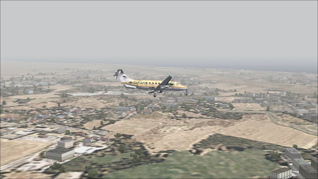
Cayenne to Saul
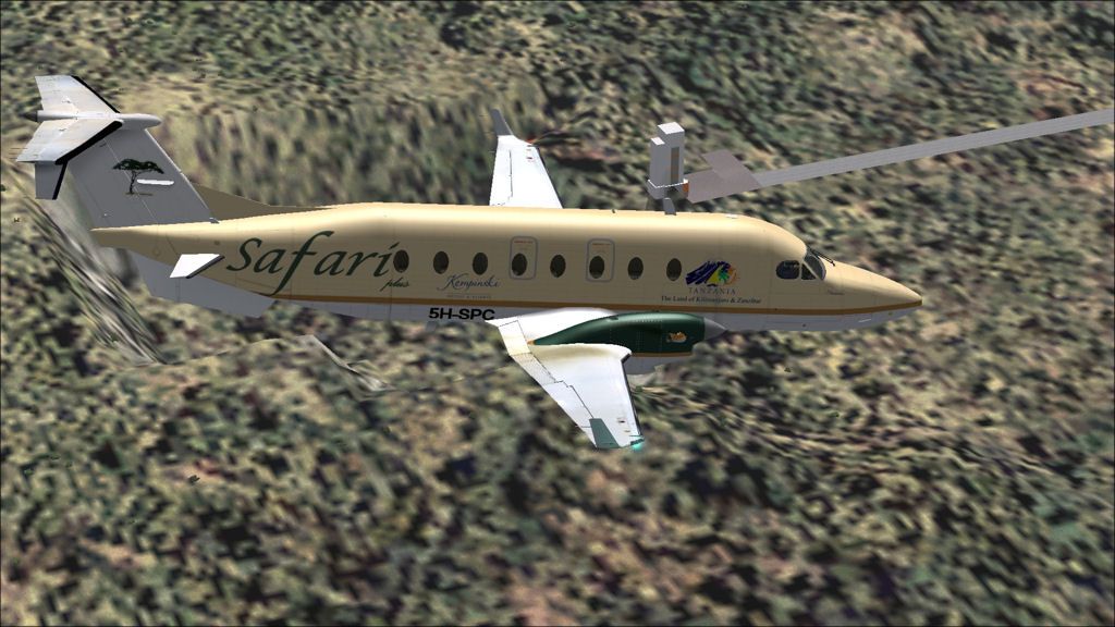
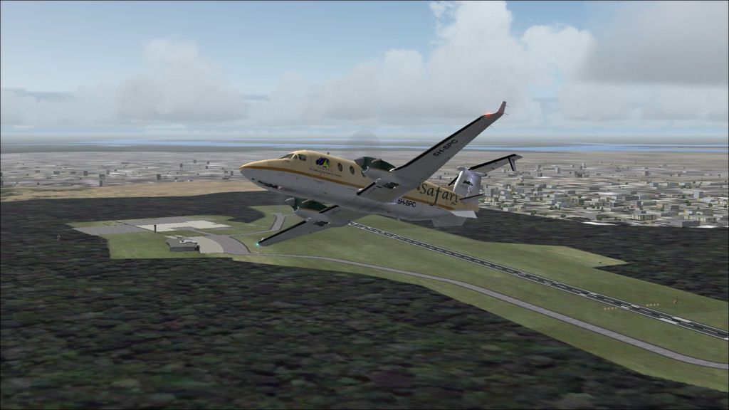
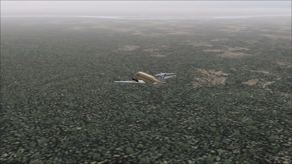
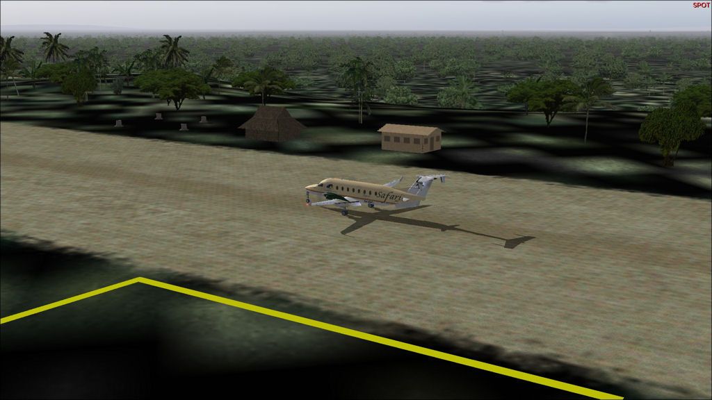
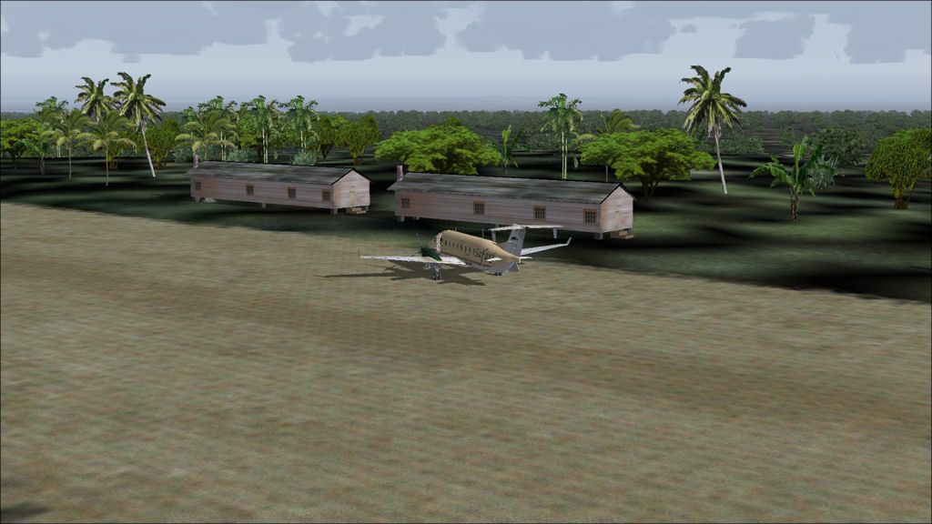
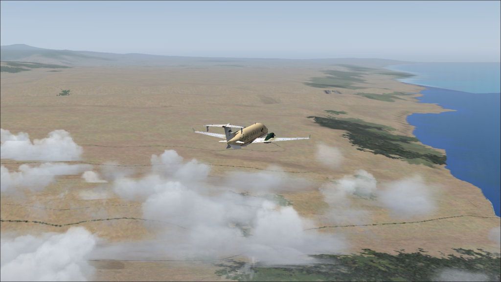
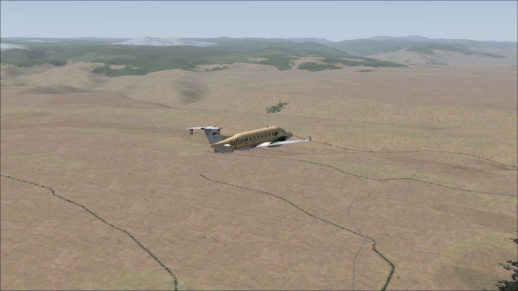
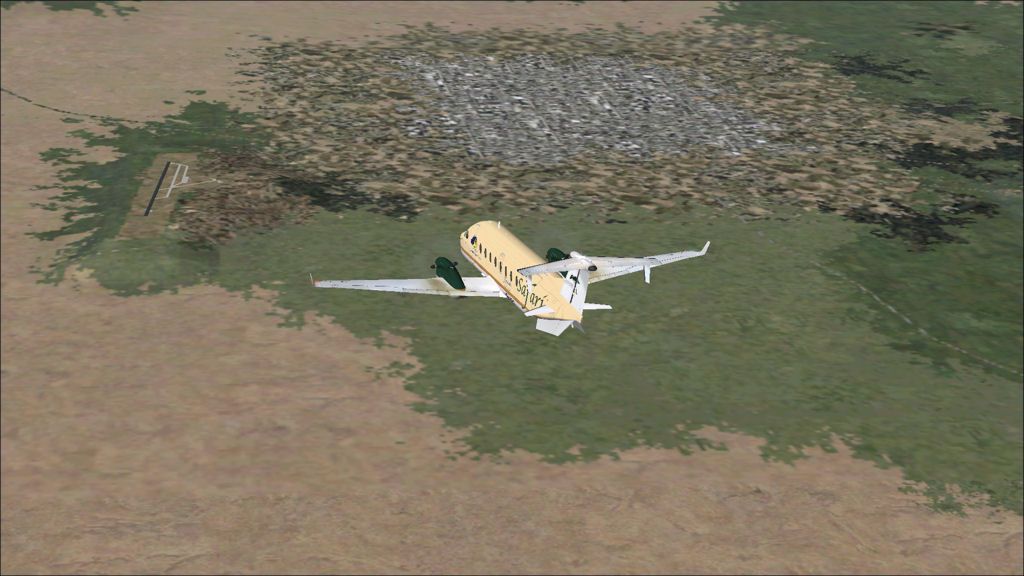
DAY 13, LEG 66 - Cayenne to Saul
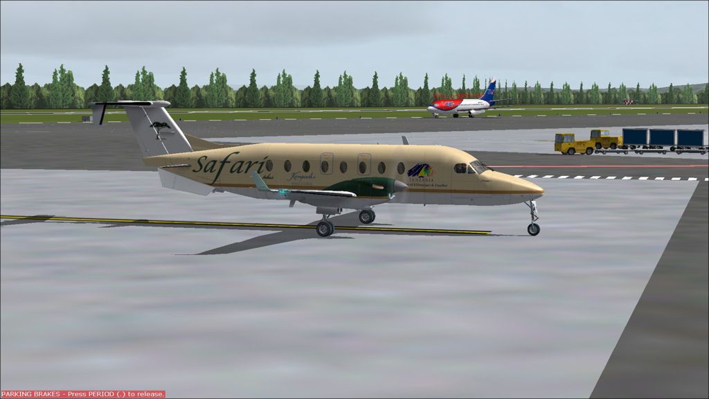
About to taxi out at Cayenne as a Taf Air 737-200 taxies out for departure to Macapa on the northeastern coast of Brazil.
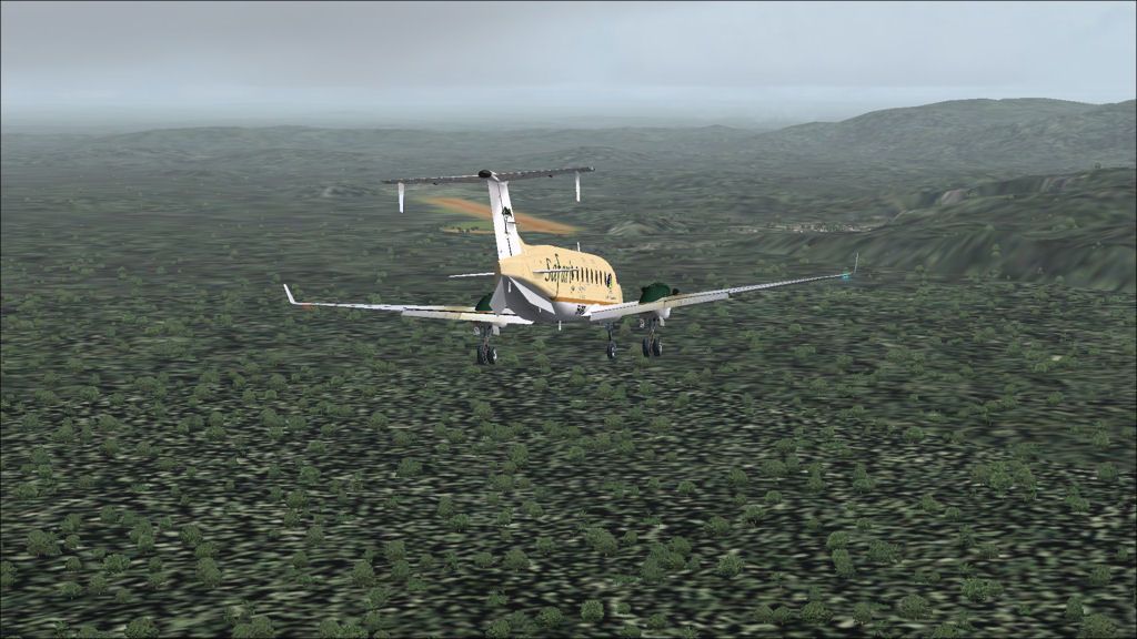
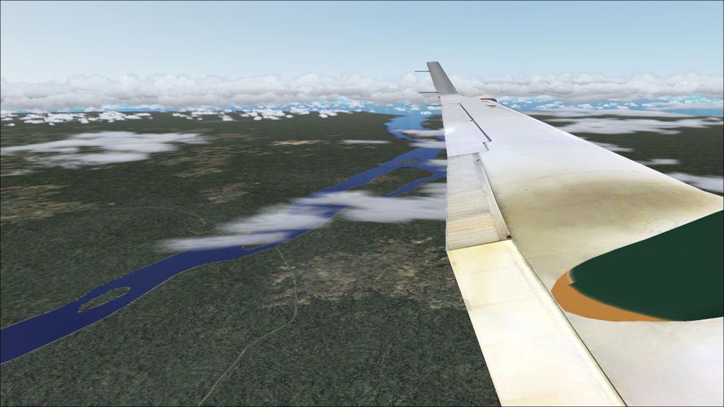
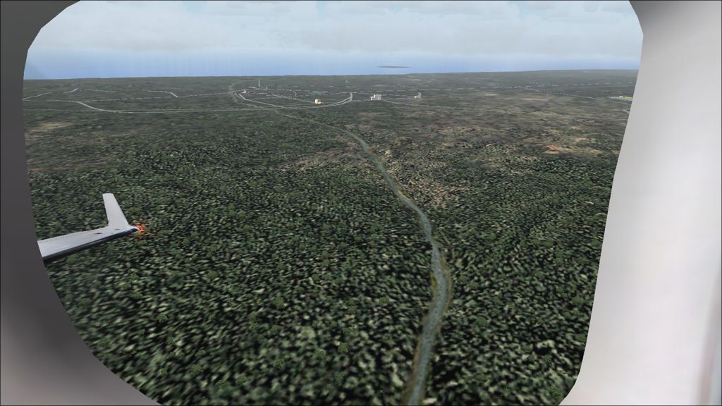
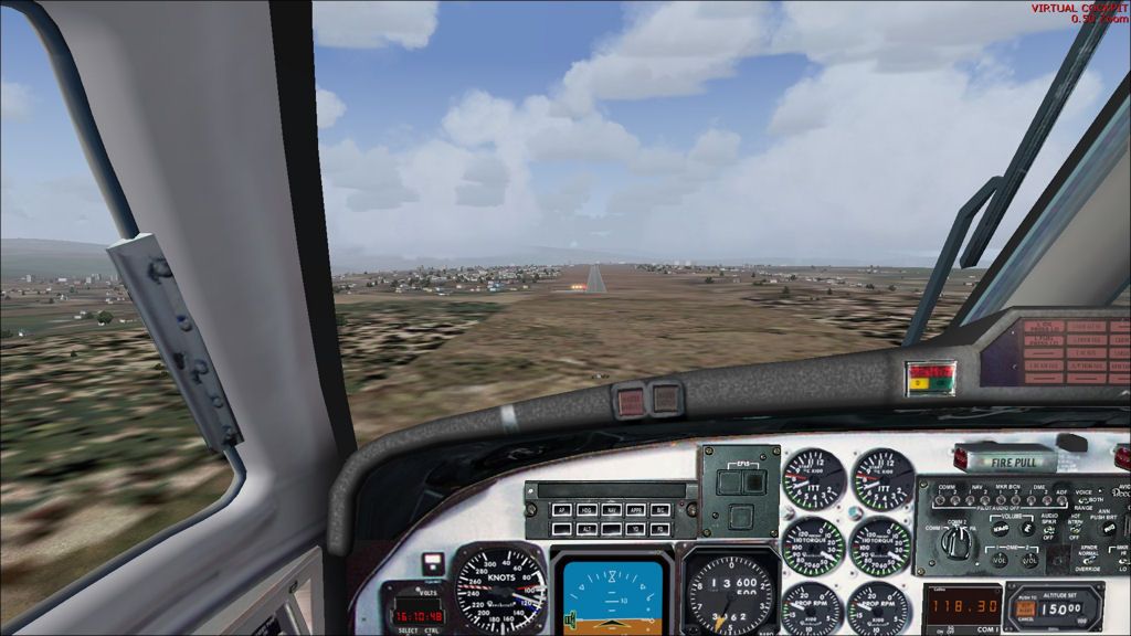
Long final to Saul.
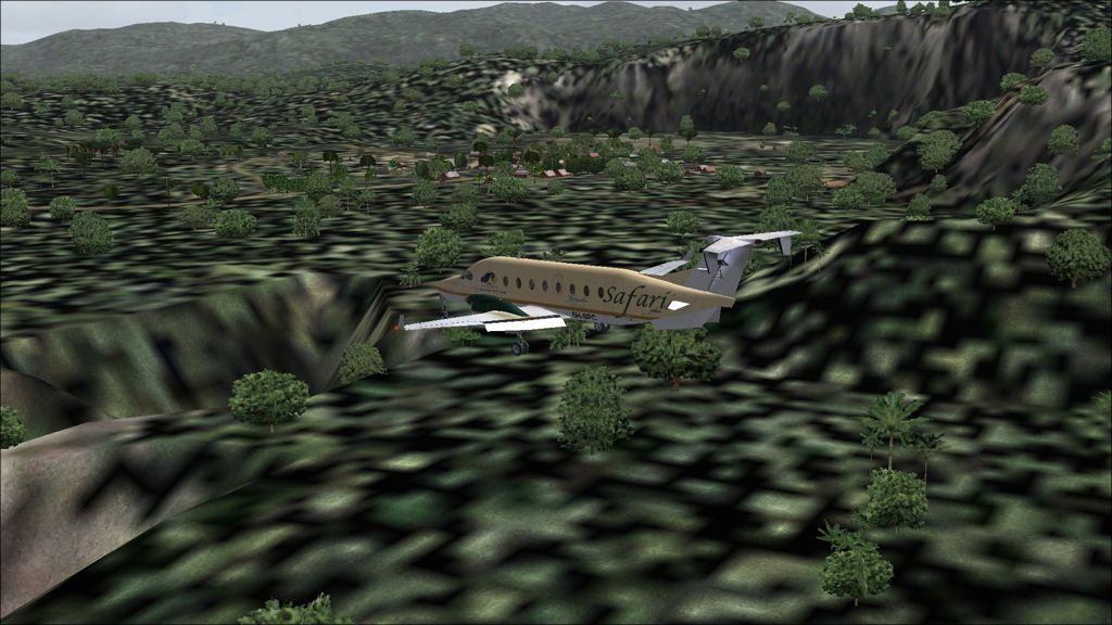
Passing Saul village on short final.
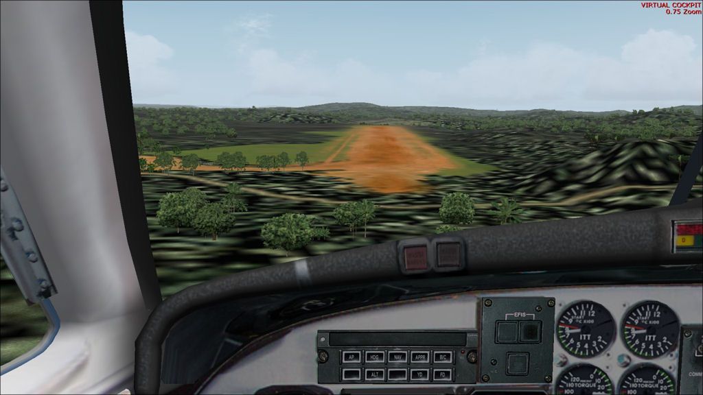
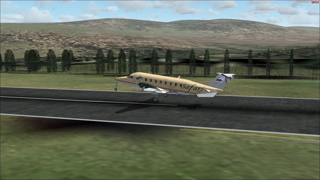
Short final to Saul.
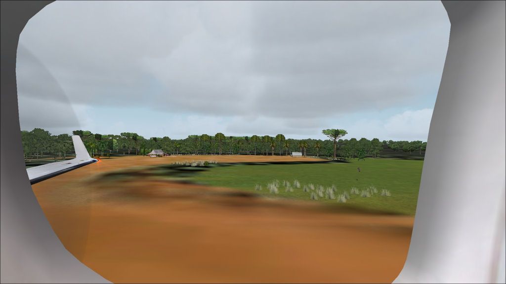
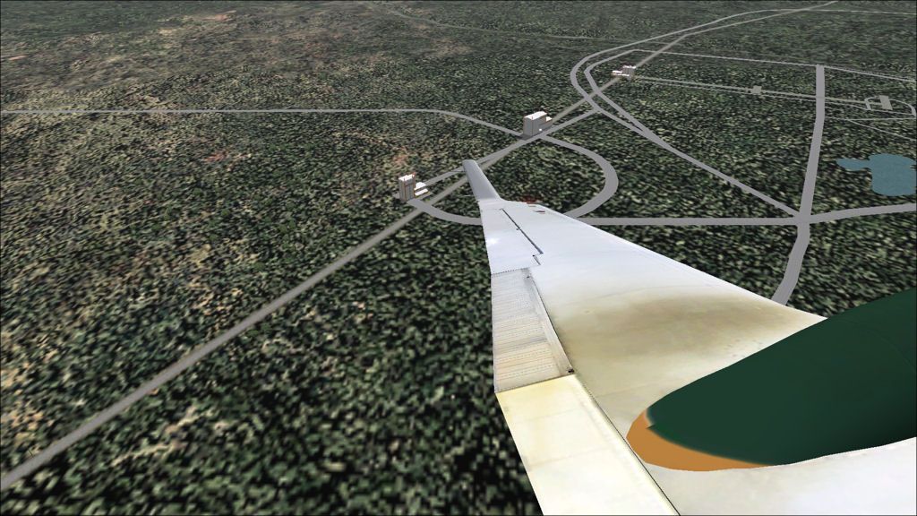
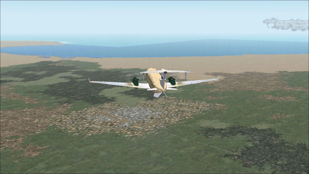
Crossing the threshold to runway 21 looking left at the small apron.
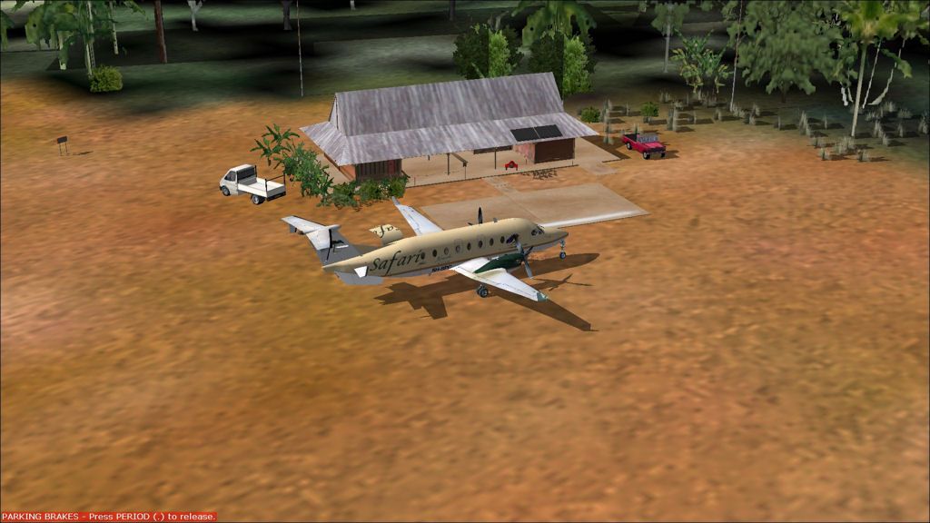
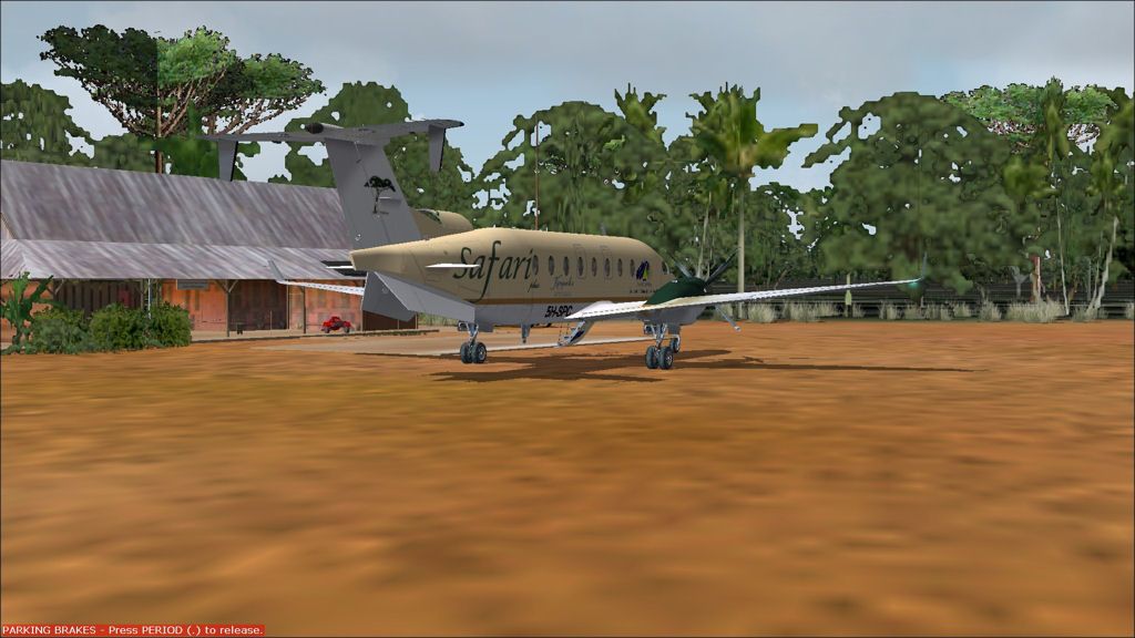
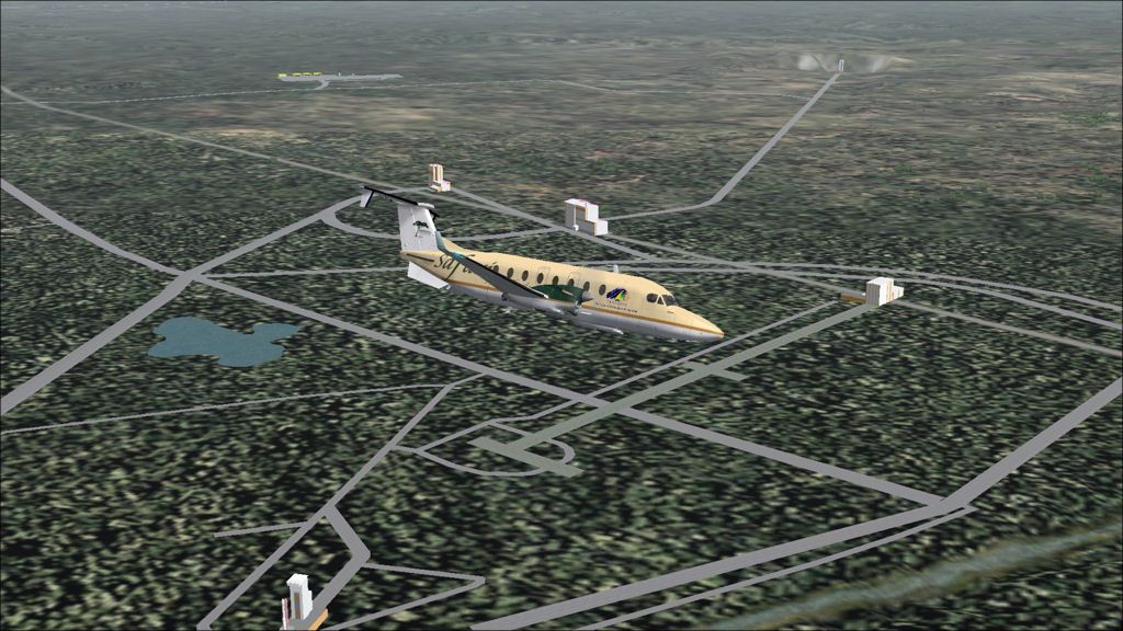
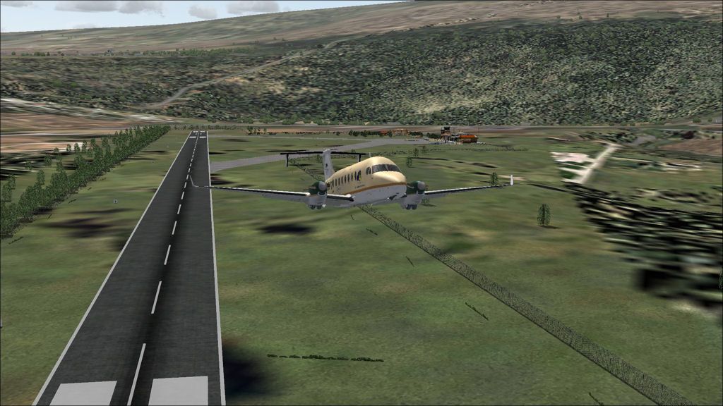
Parked at Saul.
Another picture as our bags are unloaded into our waiting truck.
SOCA - SOOS stats
Take off time: 1525
Landing time: 1548
Flight time: 0:23
Fuel used: 193kg / 425lbs
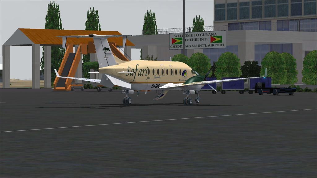
Timehri to Cayenne
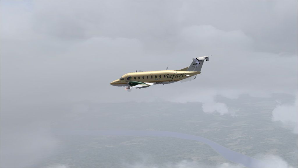
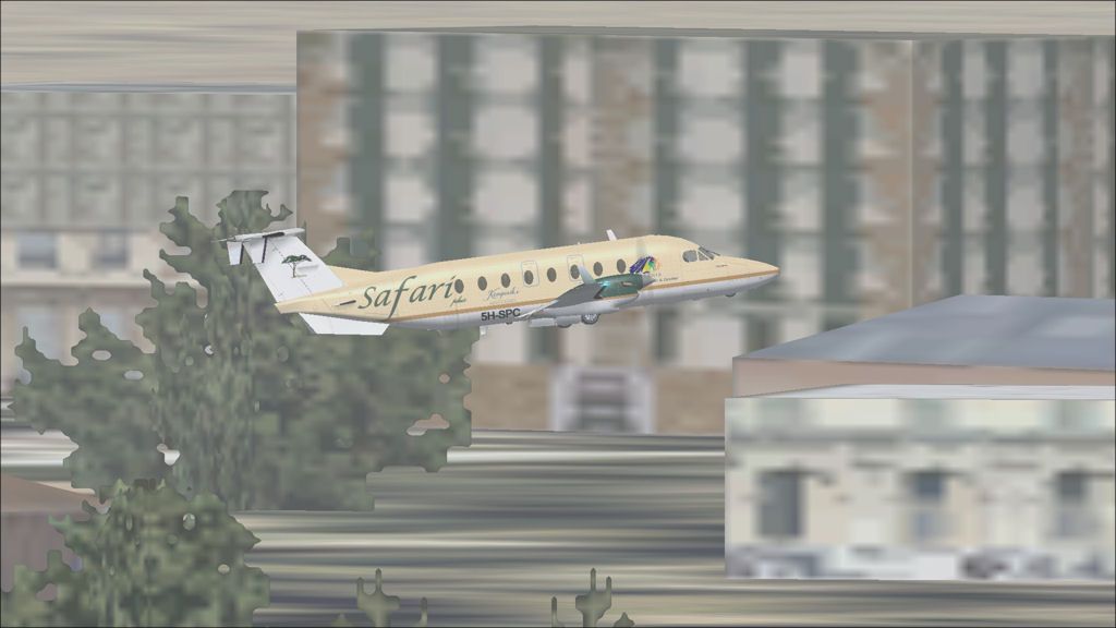
DAY 13, LEG 65 - Timehri to Cayenne
Taxi out in the rain.
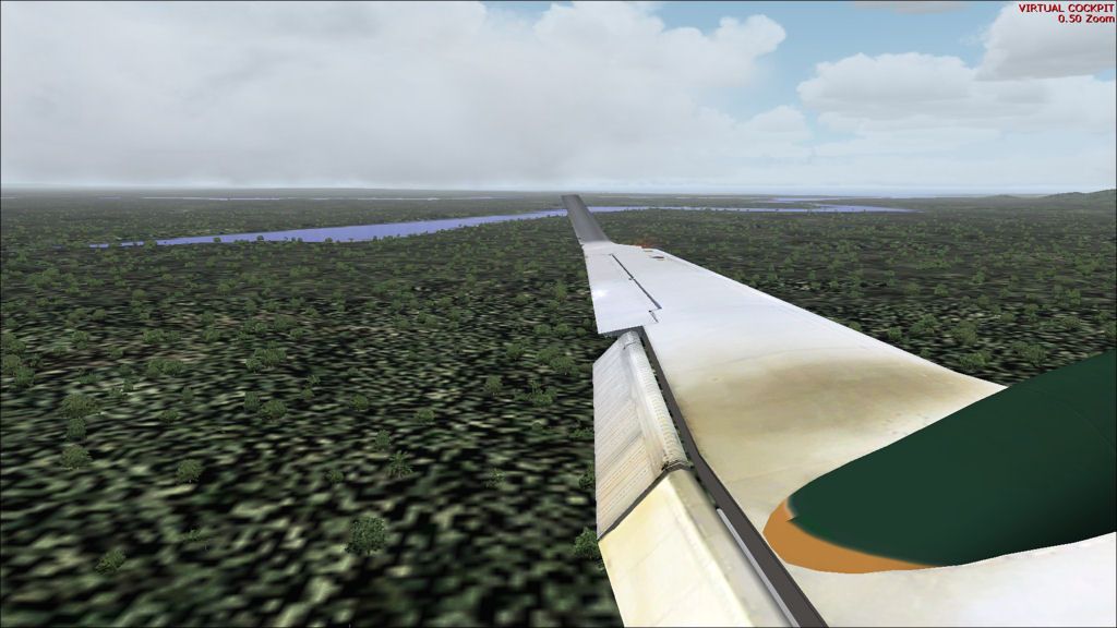
Maroni River as seen from seat 5A. The river is the border between Suriname (on the left) and French Guiana (on the right).
One of the rocket construction buildings at Kourou.
In order from closest to the aircraft to furthest away - The final assembly building, the launcher integration building, and the control centre.
The Ariane 5 launch pad just underneath the aircraft and the fuel production plant in the distance.
Turning back towards Cayenne with a good view of the whole ESA site.
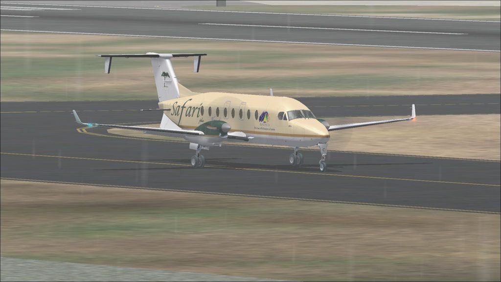
Final approach to Cayenne.
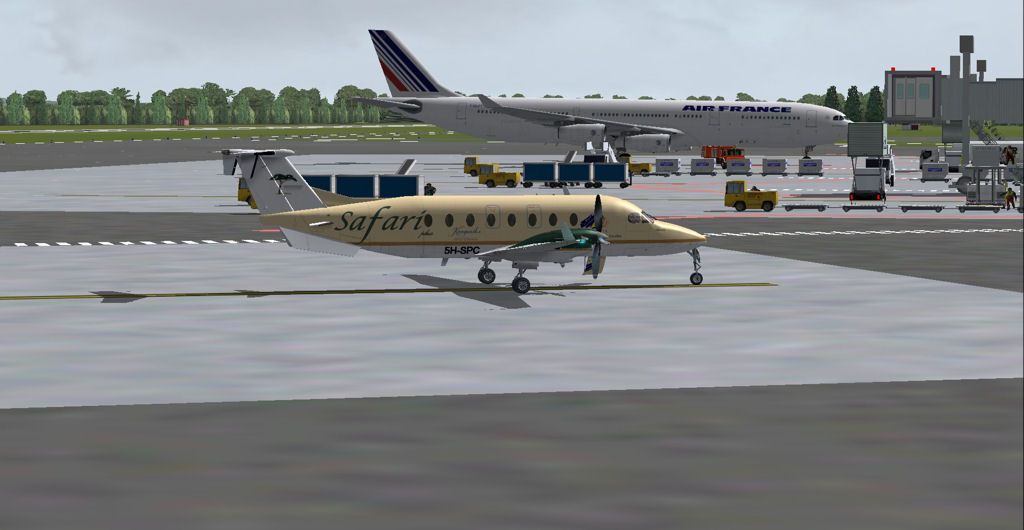
Parked along from an Air France A340 from Paris Orly.
SYCJ - SOCA stats
Take off time: 1339
Landing time: 1510
Flight time: 01:31
Fuel used: 780kg / 1716lbs
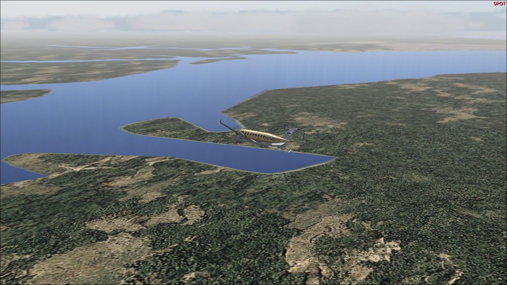
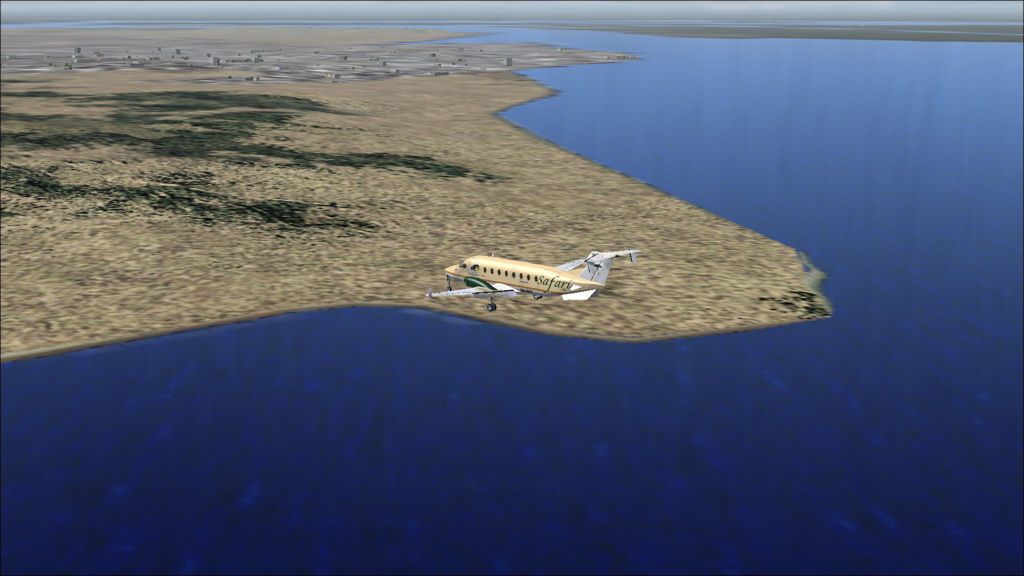
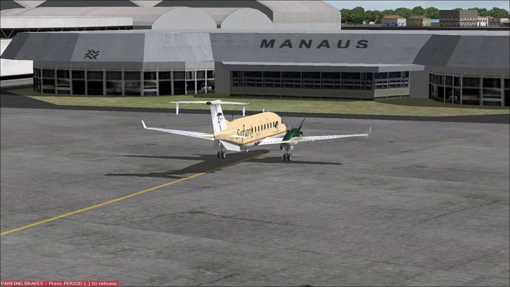
Manaus to Timehri
DAY 13, LEG 64 - Manaus to Timehri
Taxi out at Manaus with a GOL 737 departing in the distance to Porto Velho.
Leaving Manaus behind.
Cloudy approach to Timehri.
Crossing the Demerara River on approach to Timehri.
Final approach to Georgetown International.
Parked at the terminal building.
SBEG - SYCJ stats
Take off time: 1002
Landing time: 1317
Flight time: 02:15 (+1 hour time difference)
Fuel used: 944kg / 2077lbs
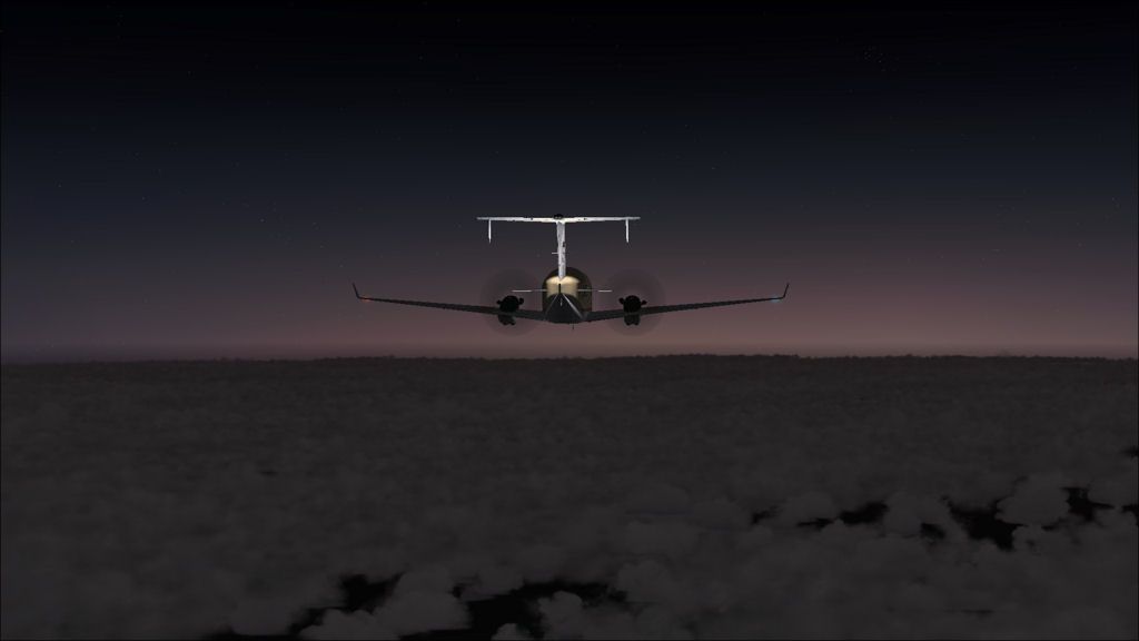
Juruena to Manaus
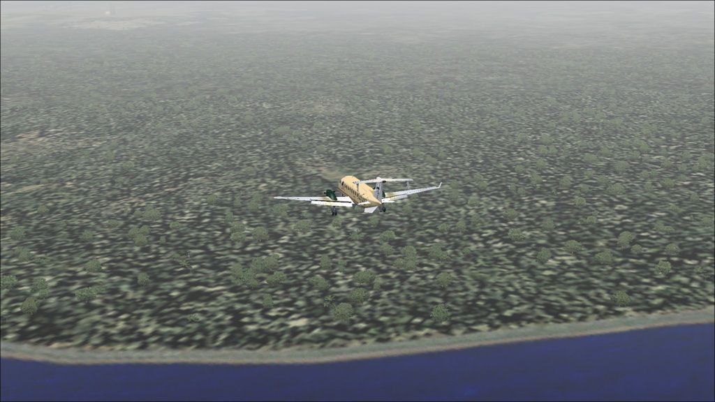
DAY 13, LEG 63 - Juruena to Manaus
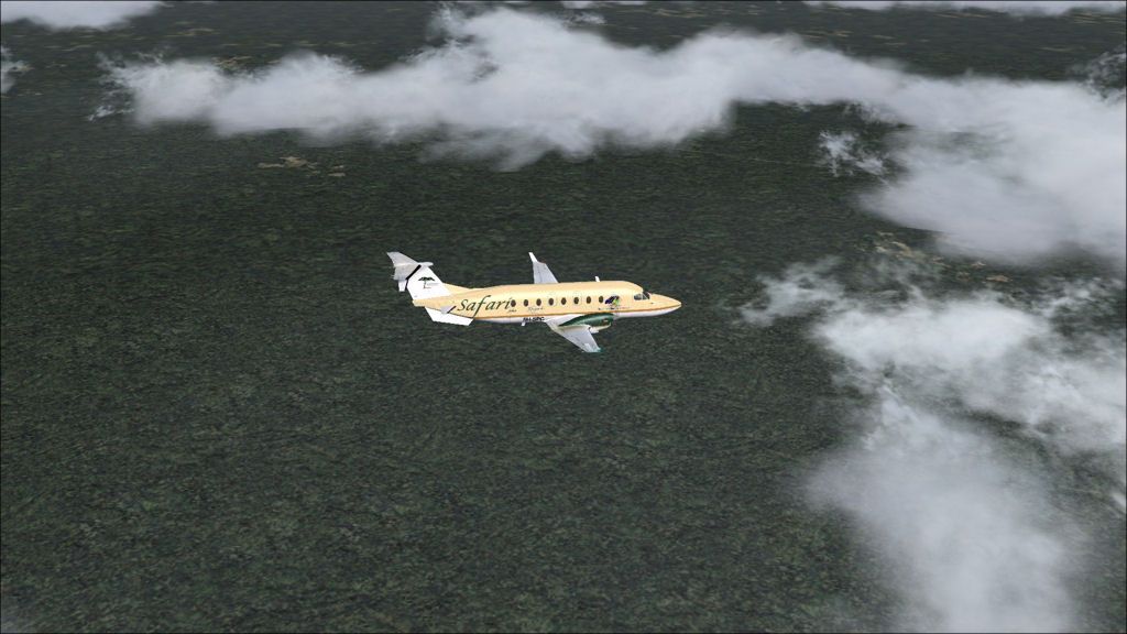
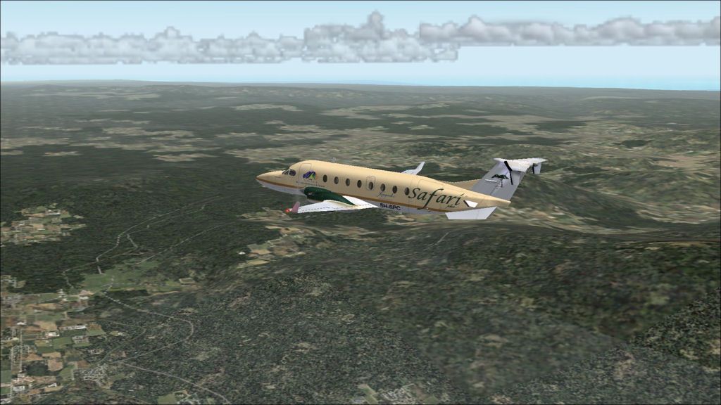
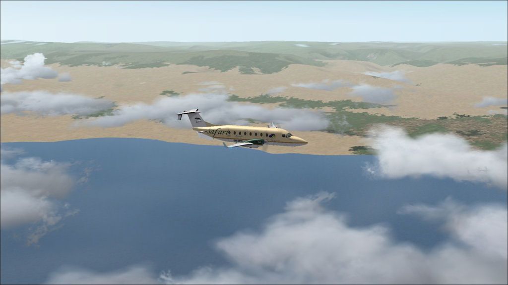
Cruising over the Amazon rainforest again.
Turning over the Black River to the ILS
FInal approach with the city just visible at the top of the picture.
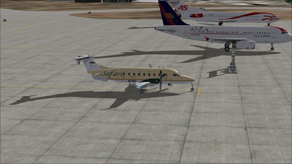
Parked at the general aviation terminal, nicknamed "Eduardinho" or "Little Eduardo" as it is the smaller of the two terminals at Eduardo Gomes airport.
JRN - SBEG stats
Take off time: 0910
Landing time: 0937
Flight time: 0:27
Fuel used: 202kg / 444lbs
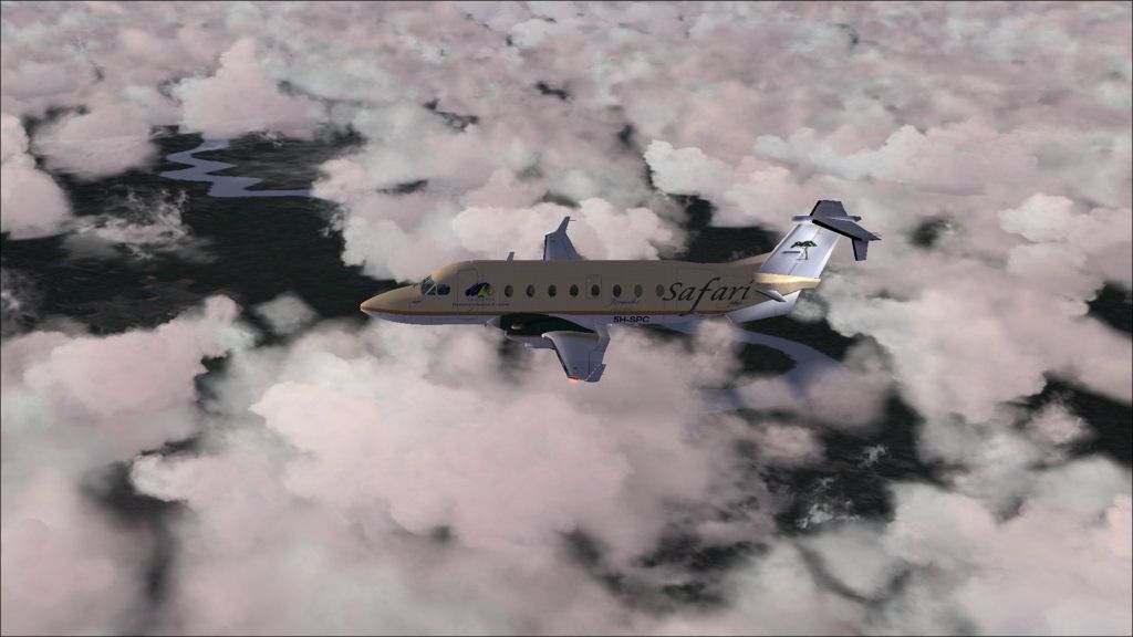
La Paz to Juruena
DAY 13, LEG 62 - La Paz to Juruena
Sunrise over the Amazon.
A glimpse through the clouds of Rio Mamore - The border between Bolivia and Brazil.
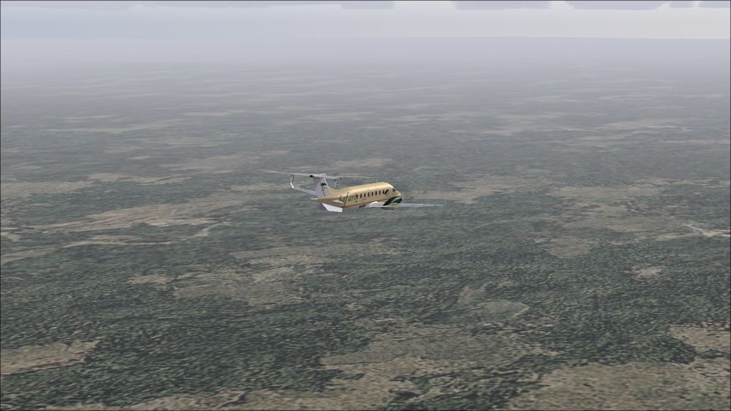
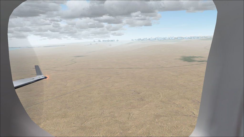
The vast Amazon rainforest.
Approaching Juruena. The Amazon tributary that is just visible divides the Brazilian regions of Mato Grosso and Amazonas.
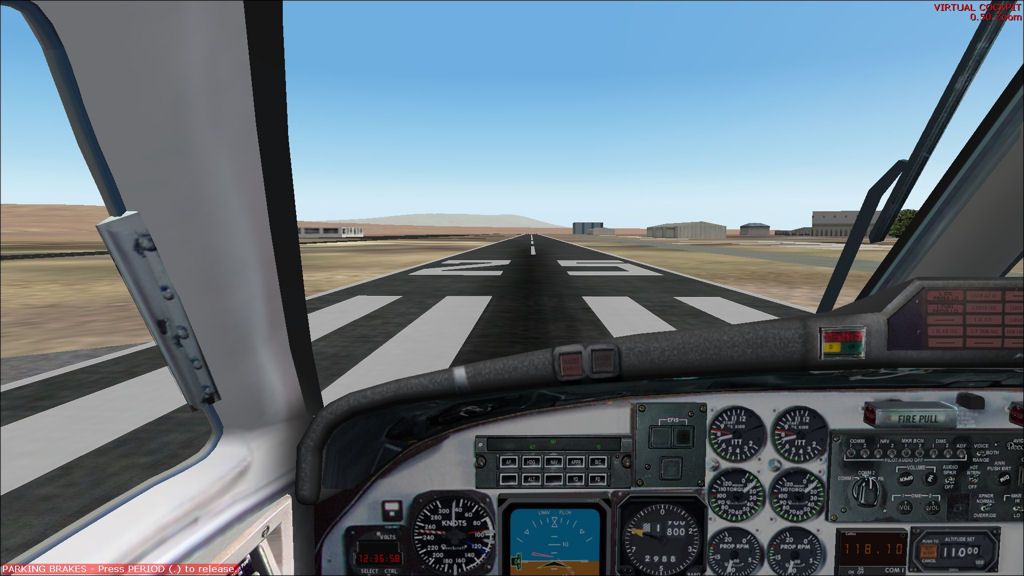
Touchdown in Juruena.
Parked at Juruena. We have landed with 938kg of fuel which is more than enough for the half an hour flight to Manaus.
SLLP - JRN stats
Take off time: 0512
Landing time: 0847
Flight time: 03:35
Fuel used: 1096kg / 2411lbs
Pisco to La Paz
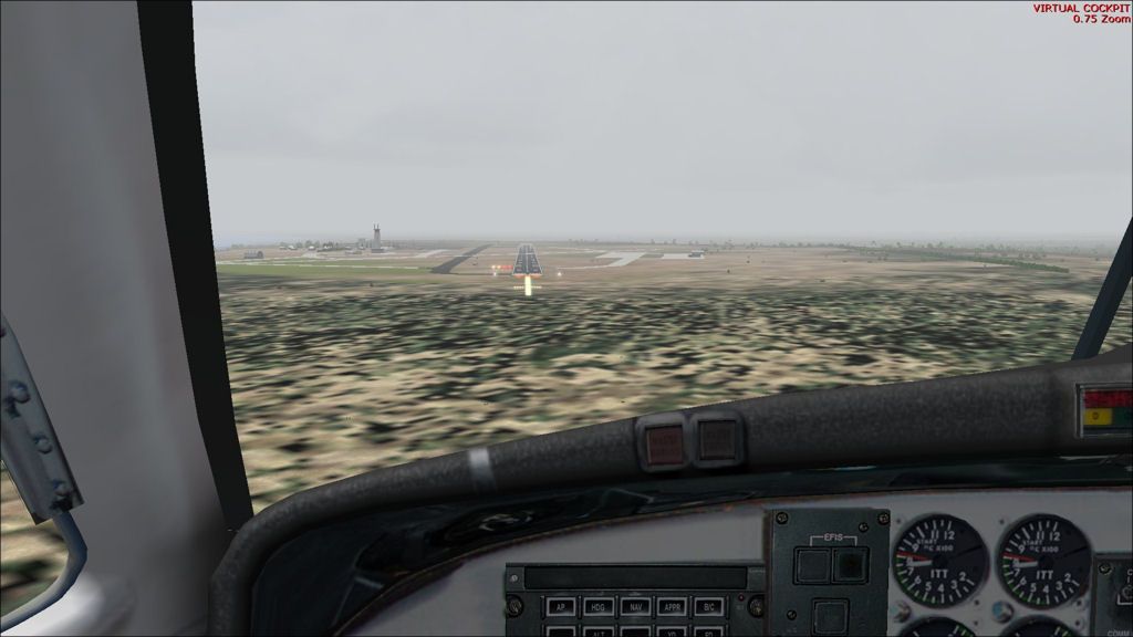
DAY 12, LEG 61 - Pisco to La Paz
After refuelling at Pisco, we head to the highest airport on our tour in the highest capital in the world, La Paz, Bolivia. The airport is located 13,300ft above sea level and is surrounded by mountainous terrain which presents a number of unique problems for pilots operating into this international airport.
Take off from Pisco
Land rapidly rises from the Peruvian coastline eastwards.
Turning inland over Atiquipa.
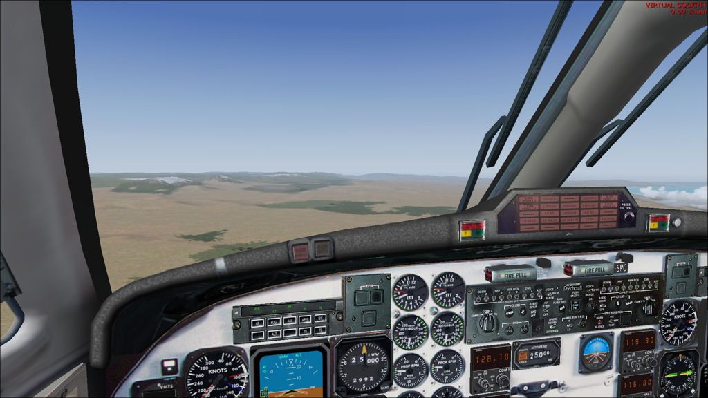
Cockpit view of the rising terrain.
Arequipa airport. Just 60 miles from the coast but 8,505ft above sea level!
Final La Paz. Due to the high elevation, our indicated airspeed is 120kts but our true airspeed is 150kts.
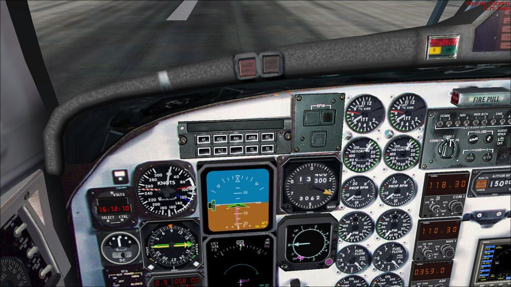
Altimeter showing La Paz's elevation
Parked at La Paz.
Take off time: 1327
Landing time: 1611
Flight time: 01:44 (+1 hour time difference)
Fuel used: 745kg / 1639lbs
Thursday, 7 June 2012
Nazca to Pisco
DAY 12, LEG 60 - Nazca to Pisco
This short leg takes us from Nazca, where there is no fuel, to Pisco, 100nm to the north where we can fill up the tanks ready for our next leg. Fortunately we can use our reserves to fly this leg and treat it as a diversion. Nazca has AVGAS, which the B1900 can use, but it is best to stick with Jet A1 where possible.
The short, narrow runway at Nazca.
The Pan-American highway that runs almost the entire length of the american continent.
Turning base into Pisco.
SPZA - SPSO stats
Take off time: 1238
Landing time: 1303
Flight time: 0:25
Fuel used: 206kg / 453 lbs
Loja to Nazca
DAY 12, LEG 59 - Loja to Nazca
From Loja we head south towards Peru to explore the Nazca lines, another UNESCO World Heritage Site. The Lines are located in the Sechura desert in Peru and are thought to be 1500 years old. They were created by the Nazca culture for viewing from nearby hills and are thought to have a religious significance. The area has a small airport that is used as a base for sightseeing flights and can handle a B1900D but there is no fuel so we will stop there for a quick rest before looking elsewhere to fill up for the next leg. Our route to Nazca takes us west towards Piura before turning south and following the coastline over Peru's capital, Lima, before turning inland again to search for the lines in the desert.

Lining up at Loja
Lift off
Departing Loja airport bound for Peru.
Approaching the Ecuador / Peru border near Macara.
Approaching our first turning point at Piura where we turn to head south towards the capital, Lima.
Cruising south of Lima.
Looking for Nazca.
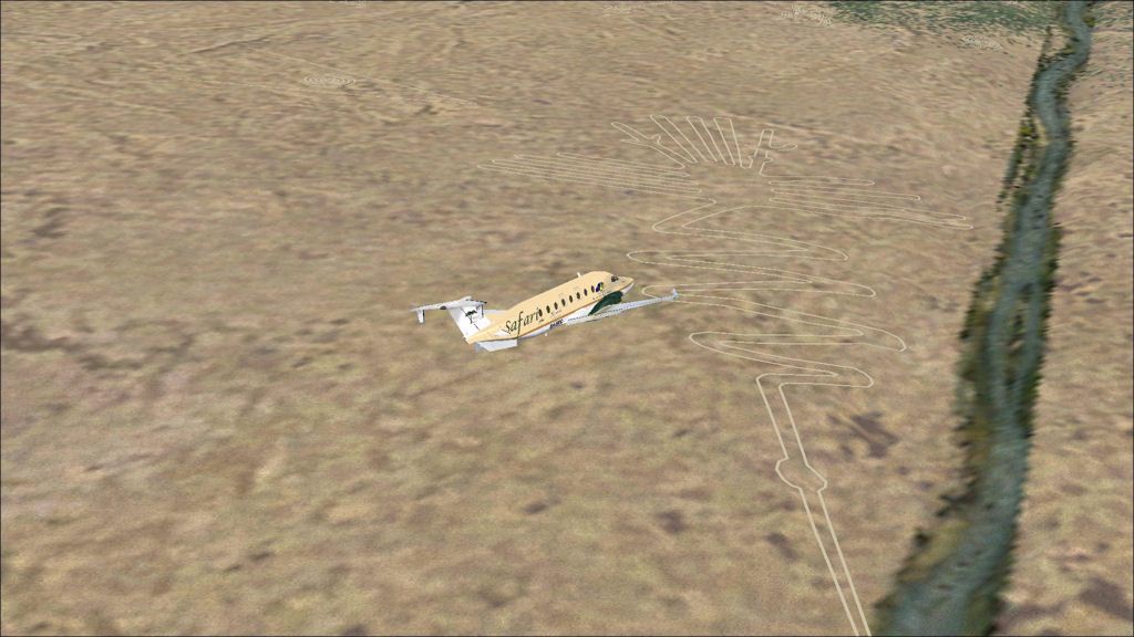
The Nazca lines
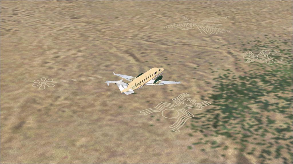
A spider symbol.
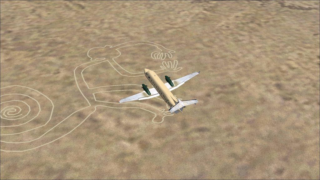
A monkey symbol.
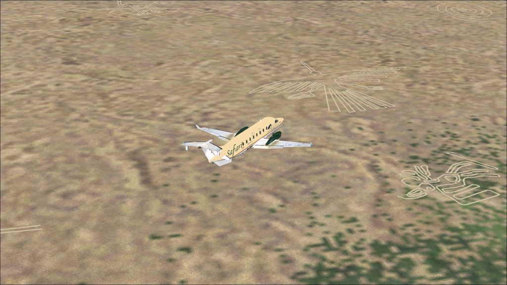
A chicken?
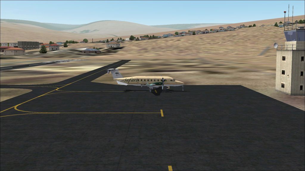
Parked at Nazca airport for a quick break before heading off to Pisco to refuel.
SETM - SPZA stats
Take off time: 0939
Landing time: 1227
Flight time: 02:48
Fuel used: 1158kg / 2548lbs
Subscribe to:
Posts (Atom)