Monday 24 December 2012

Mount Hagen to Cairns

DAY 23, LEG 96 - Mount Hagen to Cairns

A new day brings a new country as we make our way to the east coast of Australia.  The first leg of the day takes us to Cairns in Queensland, Australia.  The city is well known as the gateway for tourists to the rainforest and Great Barrier Reef.  Unfortunately we will not have enough time to visit either of those destinations on this trip!

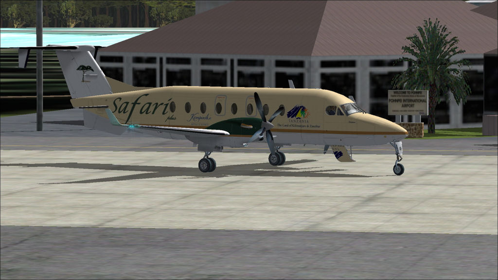
Parked in the morning at Mount Hagen airport waiting for taxi clearance.

Lined up ready for take off with the terrain issues very visible in the background.

Climbing past Mount Hagen.

A good view of the New Guinea highlands.

Another interesting view of the highlands.

Leaving the highlands behind as we head south towards the Torres Strait.

Approaching the Fly River as it flows into the Gulf of Papua.

Approaching the Torres Strait with Daru island in the foreground.

The Torres Strait with Australia just visible ahead.


Beginning the descent into Cairns.

15 mile final to runway 15 at Cairns.

Final approach.

Parked at Cairns next to a Regional Pacific EMB-120.

AYMH - YBCS stats

Take off time:   0553
Landing time:    0833
Flight time:       02:40
Fuel used:        1129kgs / 2484lbs

Wewak to Mount Hagen

DAY 22, LEG 95 - Wewak to Mount Hagen

The last leg of the day takes us into the central highlands of Papua New Guinea to the mining town of Mount Hagen.  The town has an elevation of 5,500ft and is the third largest town in the country.  The city takes its name from the nearby volcano which is the second highest peak on the Australasian continent.  The airport features a challenging approach through the mountainous terrain and hosts both domestic and international flights, although the flights to Australia normally cater for the mining industry rather than tourism.

Parked at Wewak.

Take off towards the setting sun.

Climbing out over the rainforest.

Approaching the Sepik River.

Receiving vectors into Mount Hagen airport.

View of the Highlands Highway on approach to Mount Hagen.  This highway is the main route of travel between the highlands and the coast.

Final runway 12 at Mount Hagen.

AYWK - AYMH stats

Take off time:   1700
Landing time:    1735
Flight time:       00:35
Fuel used:         305kgs / 671lbs

Progress report

Progress Report....

Pacific legs progress:


Progress for the tour so far:

Legs:                94
Total distance:  56,829nm
Total time:        203:00
Fuel used:         87,351kgs / 192,172lbs

Pohnpei to Wewak

DAY 22, LEG 94 - Pohnpei to Wewak

This leg marks the completion of another milestone in the tour, the Pacific crossing.  From Pohnpei we head south towards Papua New Guinea to explore the rugged scenery that this amazing country has to offer.  After that we will travel to Australia and New Zealand.  Wewak is located on the north coast of Papua New Guinea and the small airport offers domestic connections throughout the country.  Along our route lies the spectacular Butterfly Island which we will make a special effort to visit!

Parked at Pohnpei ready to start engines.

Climbing over Pohnpei.

Passing FL190 leaving Pohnpei behind us.


Three views of Butterfly Island.

Approaching the north coast of Papua New Guinea as the sun begins to set.

PTPN - AYWK stats

Take off time:   1357
Landing time:   1650
Flight time:        02:53
Fuel used:         1710kgs / 3762lbs

Kosrae to Pohnpei

DAY 22, LEG 93 - Kosrae to Pohnpei

The final island hopper leg takes us to Pohnpei, one of the larger islands in the Federated States of Micronesia.  The island is host to the nation's capital, Palikir and is one of the wettest places on earth with well over 300 inches of rainfall per year in some mountainous areas.  Before the flight, we fill the aircraft with 2.6 tonnes of fuel which will be enough to take us all the way to Papua New Guinea.  From here, Continental Micronesia's service continues to Chuuk and Guam, but we will head south into Australasia.

A short taxi from the terminal to the holding point at Kosrae.

Climbing away from Kosrae.

We stop our climb at FL130 between the cloud layers to avoid the turbulence.

Looking out over Pohnpei to see the island covered in low cloud.

Turning on to a downwind leg at Pohnpei.

PTSA - PTPN stats

Take off time:   1241
Landing time:   1348
Flight time:       01:07
Fuel used:         581kgs / 1278lbs

Kwajalein to Kosrae

DAY 22, LEG 92 - Kwajalein to Kosrae

The next stop along our island-hopper route is Kosrae, part of the Caroline Island group, and one of the four Federated States of Micronesia.

A view of Kwajalein Airport on departure to Kosrae.

Rainy skies clearing up during the cruise.

Our top of descent point with Kosrae Island clearly visible in the distance.

Final approach to Kosrae.

Parked outside the small airport terminal in Kosrae.

PKWA - PTSA stats

Take off time:    1208
Landing time:    1228 (-1 hour time difference)
Flight time:        01:20
Fuel used:          661kgs / 1454lbs

Majuro to Kwajalein

DAY 22, LEG 91 - Majuro to Kwajalein

The next leg fulfils one of the goals of the tour.  I set out to explore regions of the world that are not normally visited on other world tours, and take in some of the novel routes served by the international airlines.  The next three legs to Kwajalein, Kosrae, and Pohnpei replicate the service flown by Continental Micronesia on their Pacific "Island Hopper" flight.  The flight, using a B737-800, originates in Honolulu, Hawaii, and flies to Guam via Majuro, Kwajalein, Kosrae, Pohnpei, and Chuuk.  The tour will take in the first four stops before continuing south to Papua New Guinea.  As flown on Continental Micronesia, the "Island Hopper" takes 14 hours!

Continental Micronesia's Island Hopper Route.

Take off from Majuro in a light shower of rain.

Cruising at FL110 above the rain clouds.

Long final to Kwajalein.

Short final.

PKMJ - PKWA stats

Take off time:  1104
Landing time:  1200
Flight time:       00:56
Fuel used:        485kgs / 1067lbs

Tarawa to Majuro

DAY 22, LEG 90 - Tarawa to Majuro

We now head off to Majuro in the Marshall Islands.  These islands, like Kiribati, make up part of Micronesia.  The Marshall Islands were the focus of a lengthly and catastrophic battle during World War II as the American forces tried to end Japanese occupation of the islands.  The islands became a nuclear weapon testing area towards the end of the war resulting in long-term health issues for many islanders.  In 1979 the islands became independent of the U.S. but still retain ties in the form of government assistance which accounts for most of the economic activity.

The weather in this part of the Pacific is usually wet and humid and suffers from very high rainfall.  It is no surprise that the rain is just starting as we prepare to start our journey to Majuro!


Lined up on runway 09 ready for departure.

Take off as viewed from the terminal at Tarawa.

Leaving Tarawa behind.

Beginning our descent back into the rain.

Turning onto final approach to runway 07 at Marshall Islands International Airport.

This bridge is actually a causeway along the atoll.

Short final.

NGTA - PKMJ stats

Take off time:  0924
Landing time:  1050
Flight time:      01:26
Fuel used:       735kgs / 1617lbs