Tuesday 21 August 2012

Funafuti to Tarawa

DAY 22, LEG 89 - Funafuti to Tarawa

Having spent the night in Funafuti, as soon as daylight breaks we head to the airport and prepare the aircraft for departure to Tarawa.  Tarawa is the capital of Kiribati, and like Funafuti, is located on one of a number of atolls in the area.  Kiribati extends over 1.3 million square miles but has a population of only 103,500.  The 32 atolls are served internationally by Bonriki International Airport.

Lined up at Funafuti ready for takeoff in a crosswind.

Takeoff.

Approaching Tarawa.

Overhead Tarawa Airport turning for a left downwind approach.

Over the lagoon at Tarawa on downwind.

Final approach.

Taxi in.

Parked at Tarawa.

NGFU - NGTF stats

Takeoff time:   0640
Landing time:   0906
Flight time:      02:26
Fuel used:       1034kgs / 2275lbs

Nadi to Funafuti

DAY 21, LEG 88 - Nadi to Funafuti

Having crossed the international date line, we now cross the 180 degree meridian and reach another turning point in the tour.  Having crossed the Pacific Ocean in our Beech, the original plan had us turning south towards Norfolk Island and then New Zealand, however, we decided to add some more legs to the original route and head north instead.  This will enable us to visit several Micronesian islands, Tuvalu, Kiribati, Papua New Guinea, and possibly the Solomon Islands. The intention is then to head southwards down the east coast of Australia, then out to New Zealand.

Our destination, Funafuti, is the capital of Tuvalu and has a very small population.  The small airport serves only Nadi so we may hear the Pacific Sun ATR-42 on the radio during this leg.

In the cruise to Funafuti.

Long final to Funafuti.

Short final.

Landing roll.

Parked for the night at Funafuti.

NFFN - NGFU stats

Takeoff time:   1430
Landing time:   1633
Flight time:       02:33
Fuel used:        997kgs / 2193lbs

Pago Pago to Nadi

DAY 21, LEG 87 - Pago Pago to Nadi

Our 87th leg brings our 56th country!  Depending on your source, we have already visited over a quarter of the countries on earth and, whilst the final route is yet to be confirmed, we are probably over halfway (in distance) around our tour.  Geographically, however, we are well past halfway, having crossed the Greenwich Meridian on leg 34 between Billund and Dublin.  With many of the legs to follow involving flights within large countries such as Russia, Mongolia, India, and China, it's unlikely we'll manage to visit more than half the countries in the world.

This flight takes us towards another milestone, however, the crossing of the international date line.  This imaginary line roughly follows the 180 degree meridian through the Pacific Ocean but is adjusted in certain areas to accommodate political or economic requirements.  As we are travelling west, we "gain" 24 hours, so it is effectively day 20 again, but for the purposes of the tour, we are using the simpler day/night method of working out which day it is!

Fiji was formed through volcanic activity and is one of the more prosperous islands in the Pacific thanks to its plentiful natural resources.  The main island of Fiji is known as "Viti Levu" and has two international airports.  One at Nadi and one at Nausori.  Nadi is the larger of the two airports but is not located in the capital city.  The airports boasts several international connections to the Far East, Australasia, and the Pacific.

Ready to taxi at Pago Pago.

Taking off from Pago Pago.

Tuvuca Island (left) and Mago Island (left) of Fiji.


Final approach to Nadi.

NSTU - NFFN stats

Takeoff time:   1315
Landing time:   1407 (-25 hours time difference!)
Flight time:       01:52
Fuel used:        1269kgs / 2792lbs

Monday 20 August 2012

Rarotonga to Pago Pago

DAY 21, LEG 86 - Rarotonga to Pago Pago

Following a re-fuel of the aircraft, we are ready to submit our flight plan for our next leg to the island of Pago Pago in American Samoa.  Pago Pago is the nation's capital city and the airport serves Honolulu as well as domestic inter-island services.

Take off from Rarotonga.

Passing a cruise ship on departure.

During the cruise we make a descent from FL250 to FL200 to avoid being bumped around in cloud.

On the VOR procedure to runway 05 at Pago Pago.

Base leg.

NCRG - NSTU stats

Takeoff time:   1059
Landing time:   1301
Flight time:       02:02
Fuel used:        1439kgs / 3166lbs

Friday 10 August 2012

Bora Bora to Rarotonga

DAY 21, LEG 85 - Bora Bora to Rarotonga

Thanks to our seaplane connection from the overnight resort in Bora Bora to the airport we started a little later than usual today.  More island hopping is planned as we continue our way across the Pacific Ocean.  We are heading to the island of Rarotonga, an associated state of New Zealand, and the largest of the Cook Islands.  Unsurprisingly the international airport has connections to New Zealand but also a leisure route to Los Angeles, California.

Ready to taxi at Bora Bora

Takeoff from Bora Bora with the islands of Taha'a and Raiatea in the background.

Overflying our resort in Bora Bora.

After nearly two hours in the cruise, the first view of Rarotonga appears on the horizon.

Final approach to Rarotonga.

Parked at Rarotonga Airport.

NTTB - NCRG stats

Takeoff time:   0826
Landing time:   1038
Flight time:      02:12
Fuel used:        980kgs / 2156lbs

Thursday 9 August 2012

Papeete to Bora Bora

DAY 20, LEG 84 - Papeete to Bora Bora

The customs official confirms our paperwork is all in order and stamps our passports.  He tells us about our next destination, Bora Bora, just 161nm away and recommends that we enjoy the scenery on the way.  We take his advice and decide to fly the route at 1500ft to make the most of the scenery.  We overfly two main airports which are both at sea level and will enjoy the passing island peaks as we fly past.  It has been a long day and we are looking forward to heading to our resort on the island of Bora Bora.  The island is a major international tourist destination and the airport receives several flights per day from Papeete connecting tourists to their destinations in the USA, New Zealand, and Europe.

Takeoff from Papeete.

Passing overhead Moorea Airport after just 2 minutes of flying!  The airport is now served by Air Tahiti ATRs but until recently was served by Air Moorea Twin Otters which would have covered the short distance in a couple of minutes more.


Le Meridien Resort Bora Bora.  Bit too expensive for us, we are staying down the road.

Turning final to Bora Bora Airport.

NTAA - NTTB stats

Takeoff time:   1556
Landing time:   1533 (-1 hour time difference)
Flight time:       0:37
Fuel used:        345kgs / 759lbs


We checked into the hotel check-in desk at Bora Bora Airport and caught a glimpse of our private aircraft waiting for us.  It is a PA-22 Tri-Pacer on floats!

Flying past the "Le Maitai" resort.  Our resort is just opposite on the other side of the bay.

Parked up on the beach to let us off to enjoy an evening in one of the water huts!

Hao to Papeete

DAY 20, LEG 83 - Hao to Papeete

The next leg takes us to the French Polynesian capital city, Papeete, on the island of Tahiti.  Papeete airport is the base for Air Tahiti Nui and Air Tahiti and connects most of the Polynesian airports to the rest of the world.  Tahiti's population accounts for over 60% of the total population of French Polynesia and is significantly the biggest island in the chain.  Our plan is to stop in Bora Bora for the night but need to clear customs in Tahiti having visited non-customs airports up to now.  Having handed the paperwork to the officials in Papeete, we will head off for Bora Bora.

Ready for departure at Hao.

Takeoff from Hao.

Moorea Island on approach to Tahiti.

Approaching the island of Tahiti.

Final approach to Papeete.

Parked at Papeete behind an Air Tahiti Nui Airbus A340-300.

NTTO - NTAA stats

Takeoff time:   1327
Landing time:   1538
Flight time:      02:11
Fuel used:        937kgs / 2061lbs

Totegegie to Hao

DAY 20, LEG 82 - Totegegie to Hao

We need to uplift 1200kgs of fuel for the next leg which is less than we had shipped over to Totegegie so we have some spare for our journey to Hao.  Hao is a small atoll on the Tuamotu Archipelago in French Polynesia and the airport boasts a very long runway for such a small destination.  The runway was used to transport material for nuclear tests by large cargo aircraft and as such there is plenty of runway and parking available for use today.  The runway is well-maintained and is designated a NASA emergency shuttle landing facility.

Parked at Totegegie with Mangareva in the background.

A cloudy day in Hao but fortunately the well-equipped airport has a VORDME approach which will save any hunting in poor weather for the airport.

The visibility turns out to be good on final approach.

NTGJ - NTTO stats

Takeoff time:   1204
Landing time:   1300 (-1 hour time difference)
Flight time:       01:56
Fuel used:        979kgs / 2154lbs

Easter Island to Totegegie part two.

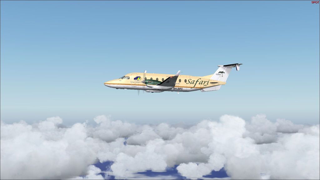
DAY 20, LEG 81 - Easter Island to Totegegie

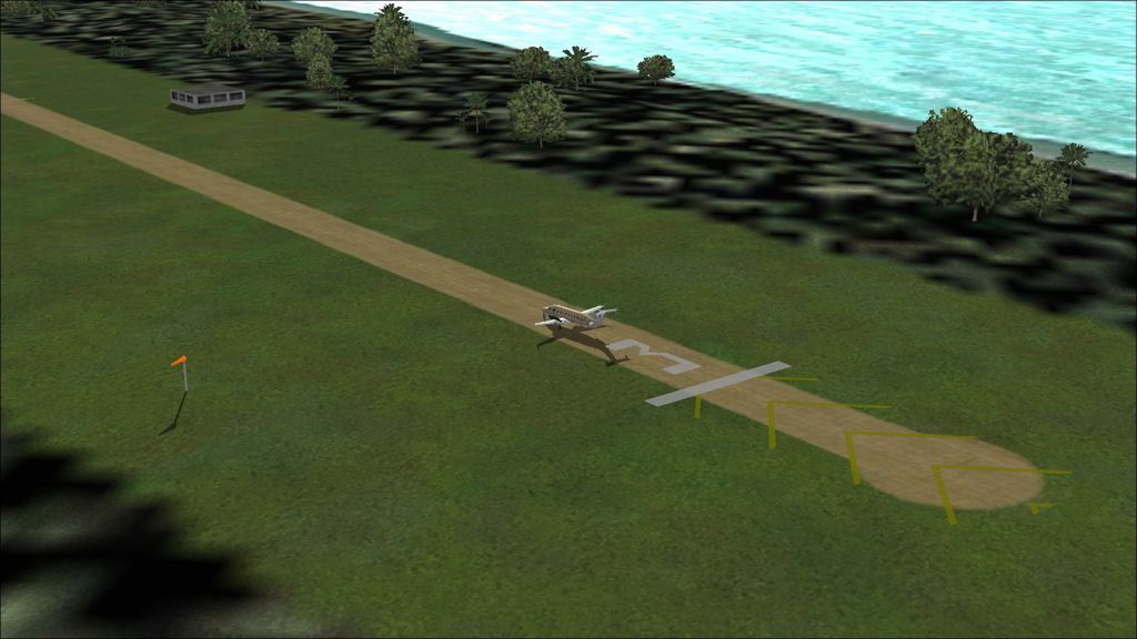
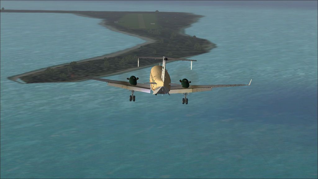
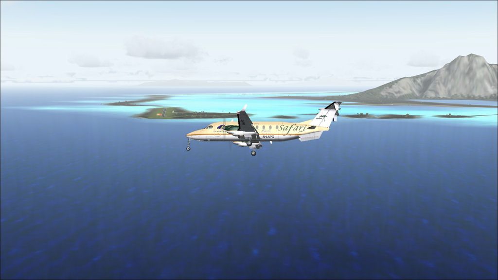
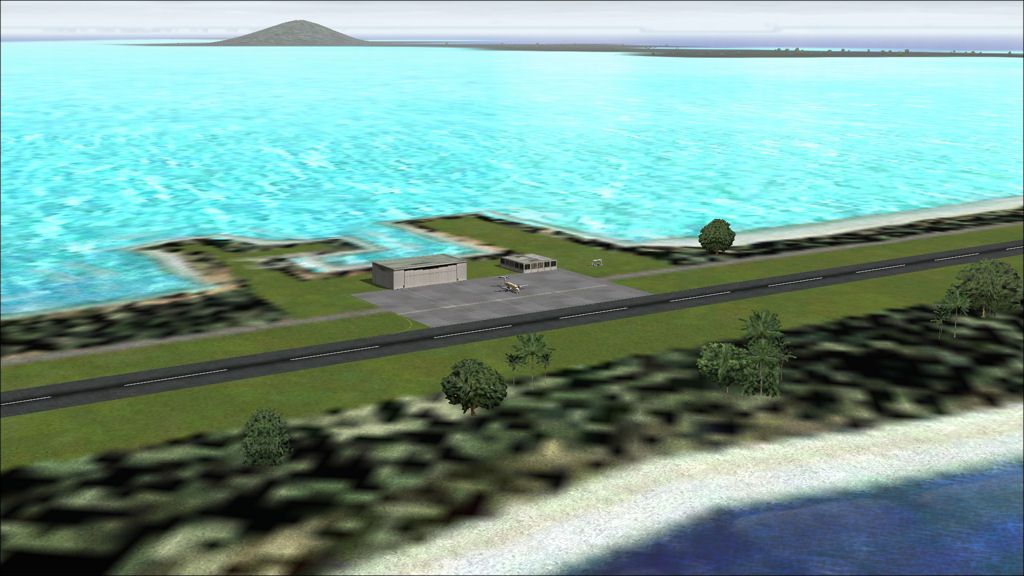
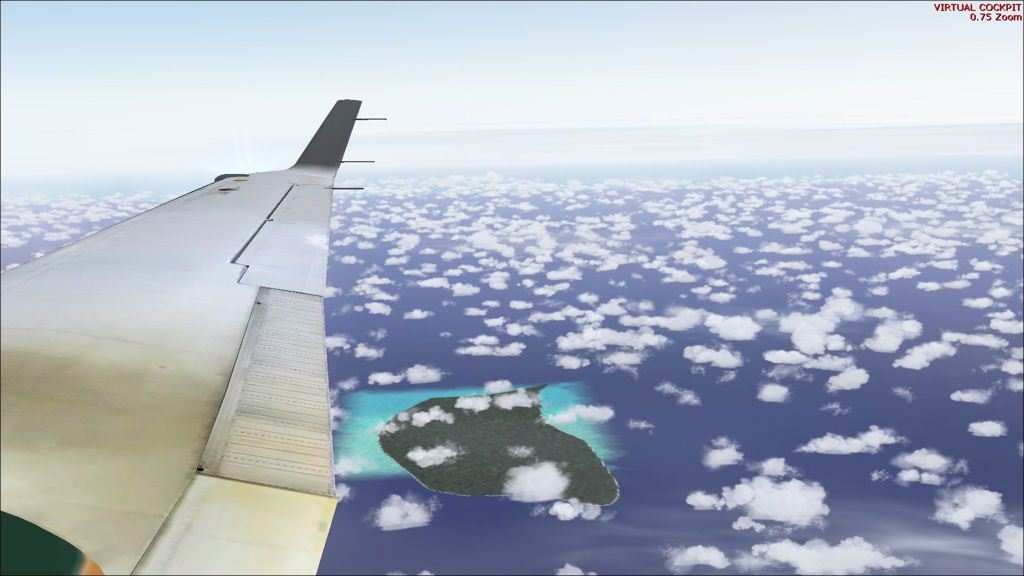
After spending another night in Easter Island, we wake up to find the winds have improved greatly for our flight to Totegegie.  This is the last of the very long legs planned on the tour so it will be a relief to have it done.  Totegegie airport is an interesting destination.  In the French AIP the airport is listed as having FOD on runway, taxiway, and apron as well as holes in the tarmac!  There is also a warning of the presence of birds.  It is a little-used destination so a fly-by of the runway before landing will scare any wildlife away and will present a good opportunity to examine the condition of the surface before landing.

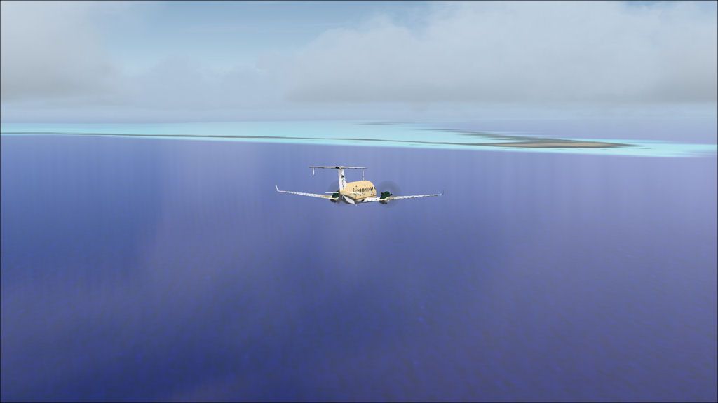
It becomes clear that the flight is planned to last 6 hours at FL270.  At a fuel burn of just under 400kg/hr that should leave 230kg remaining on landing.  It doesn't leave a lot of fuel extra but the planning has been fairly accurate for flight times up to now.  If it turns out to be too little, we can always return to Easter Island again with a good tailwind.

A rainy morning on Easter Island.

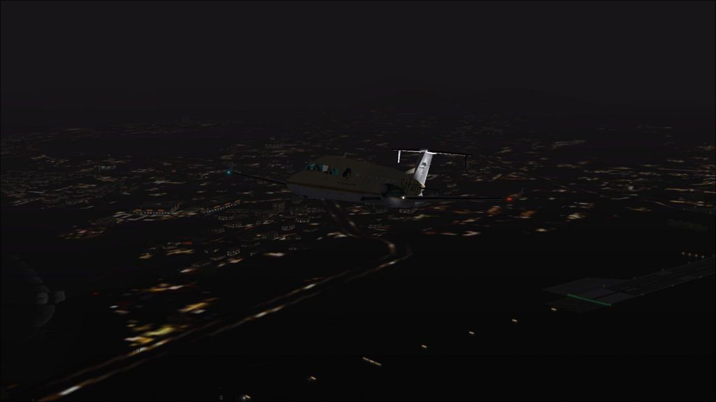
Departure early in the morning.  It is decided to climb to FL290 initially where the winds will be similar to the burn at FL270 but fuel burn slightly less.

1000nm to go to Totegegie.  Our groundspeed is 240kts which leaves just over 4 hours flight time remaining.  We are burning 380kg / hr and have 1844kgs left in the fuel tanks so can assume we have about 4:45 endurance.  We should make it ok.

Henderson Island in the Pitcairns.  The island is uninhabited by humans but home to several thousand sea birds.

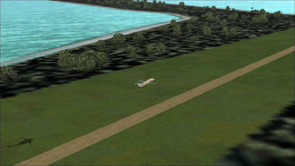
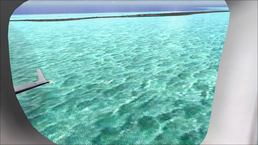
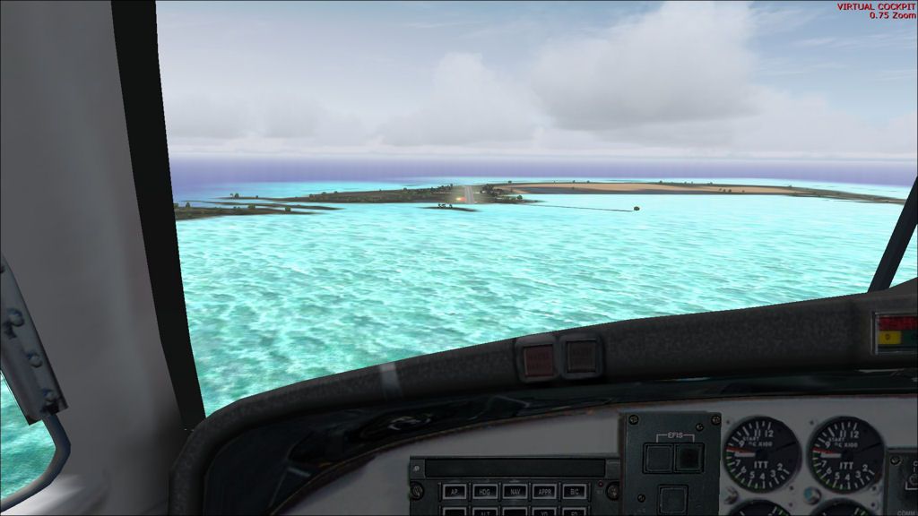
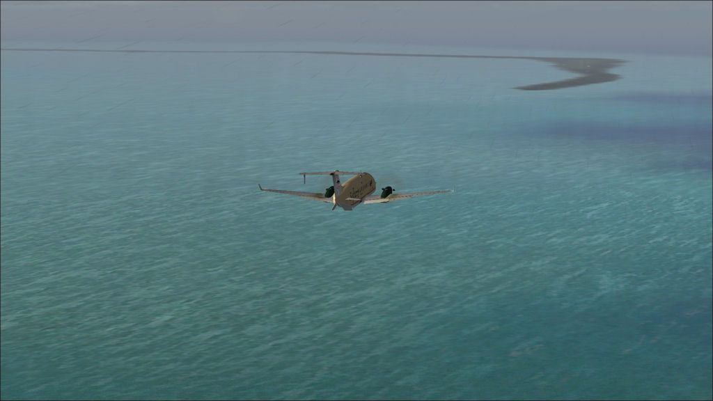
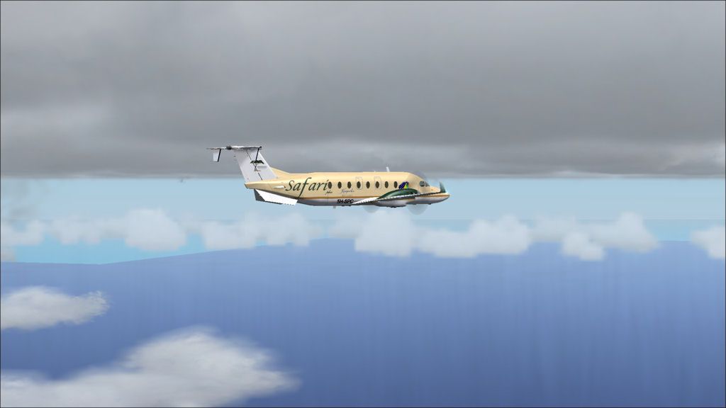
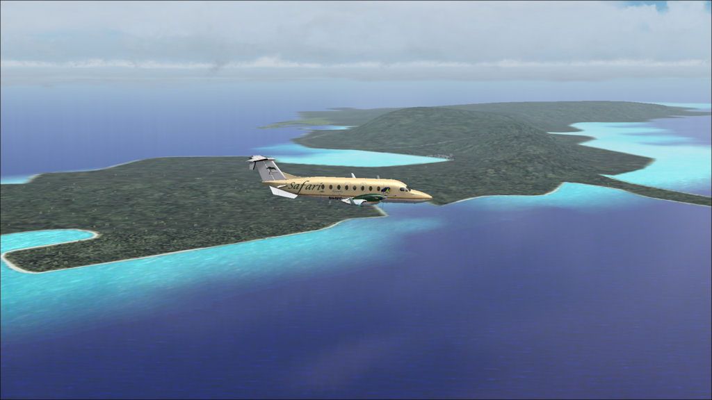
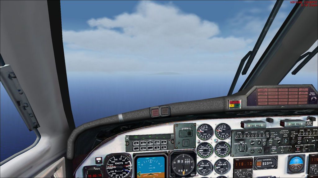
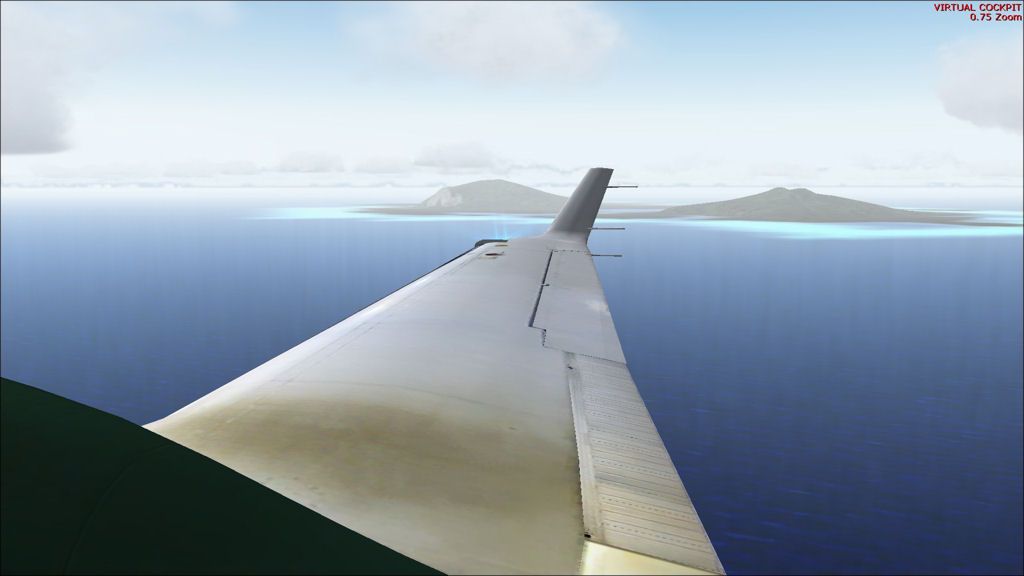
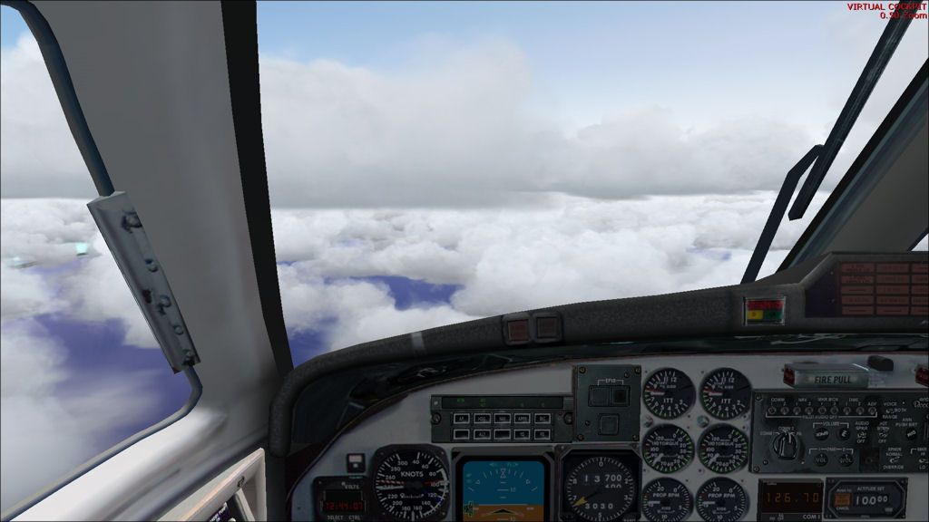
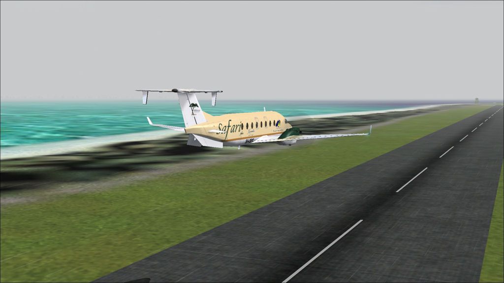
Descent to 1000ft in poor weather to look for the airport.

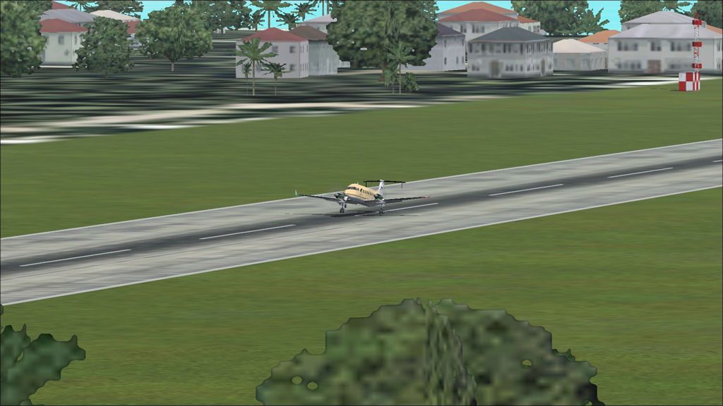
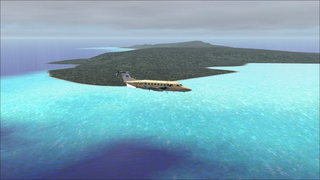
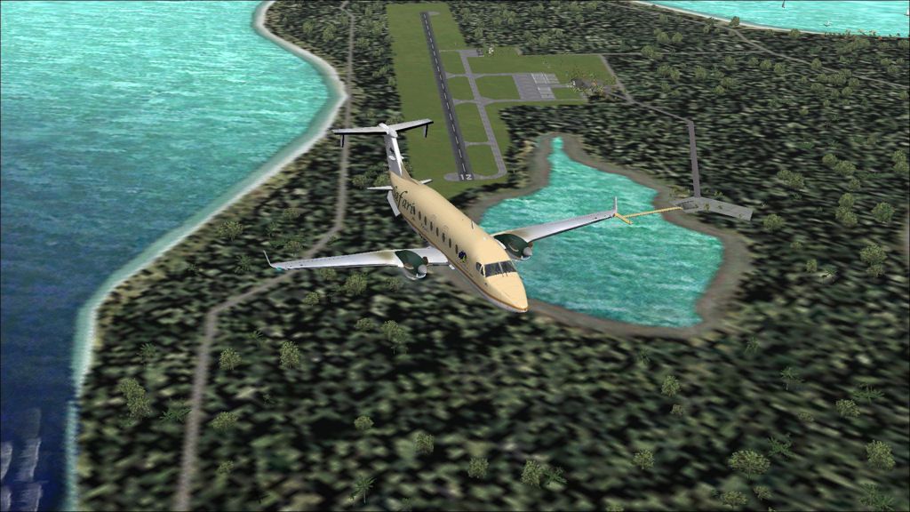
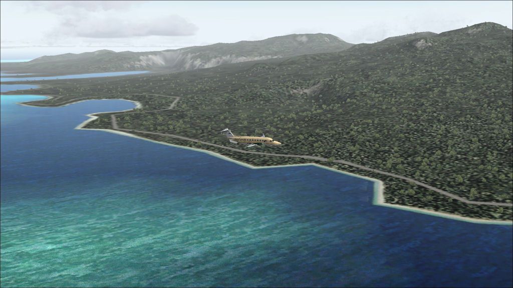
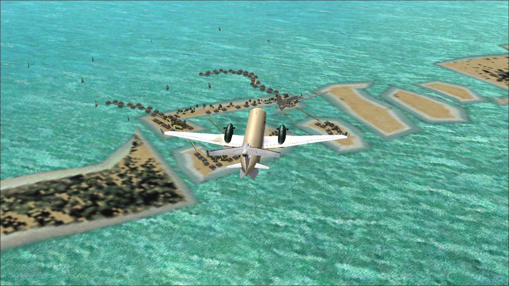
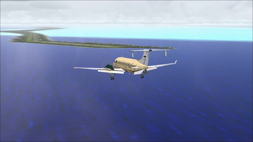
A fly-by of the runway shows it to be in good condition.

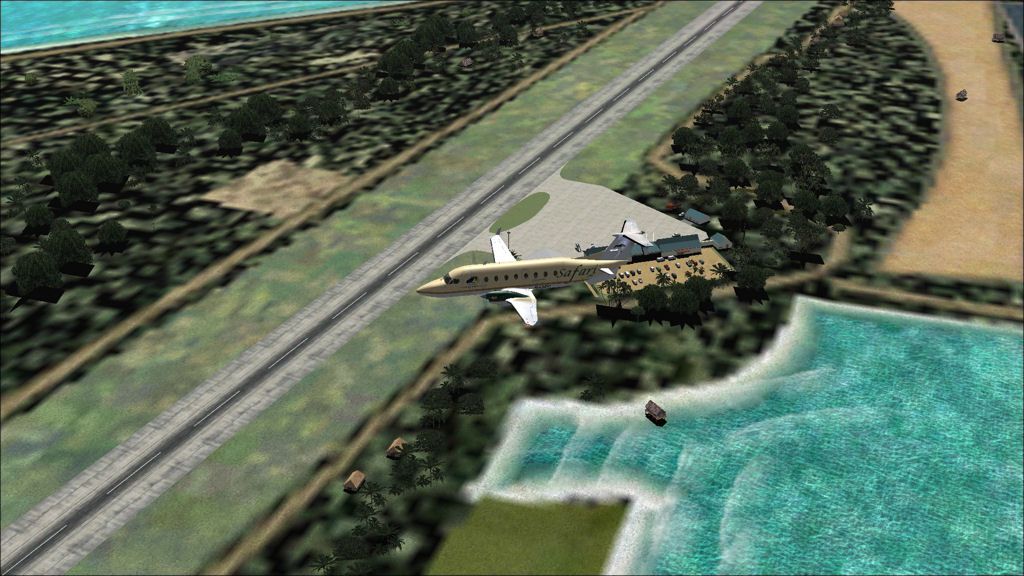
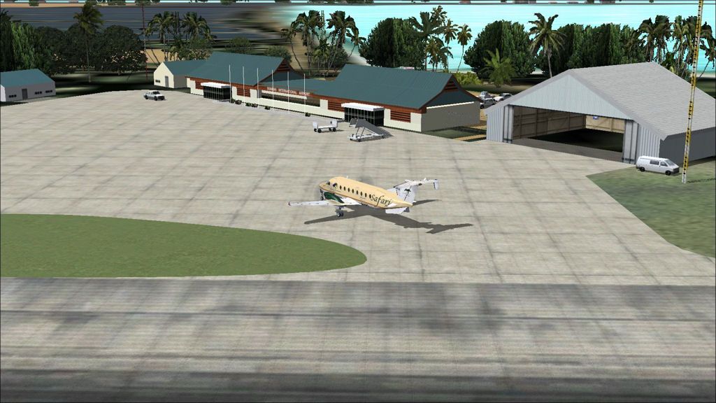
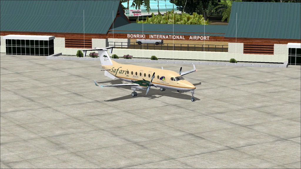
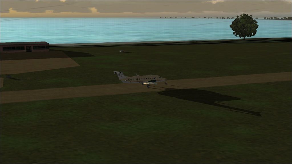
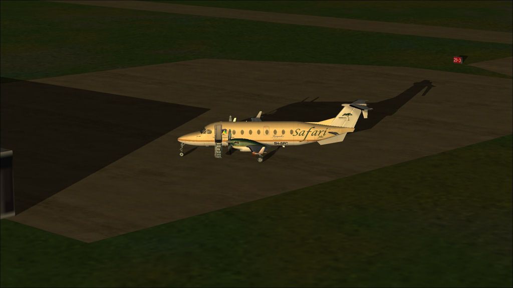
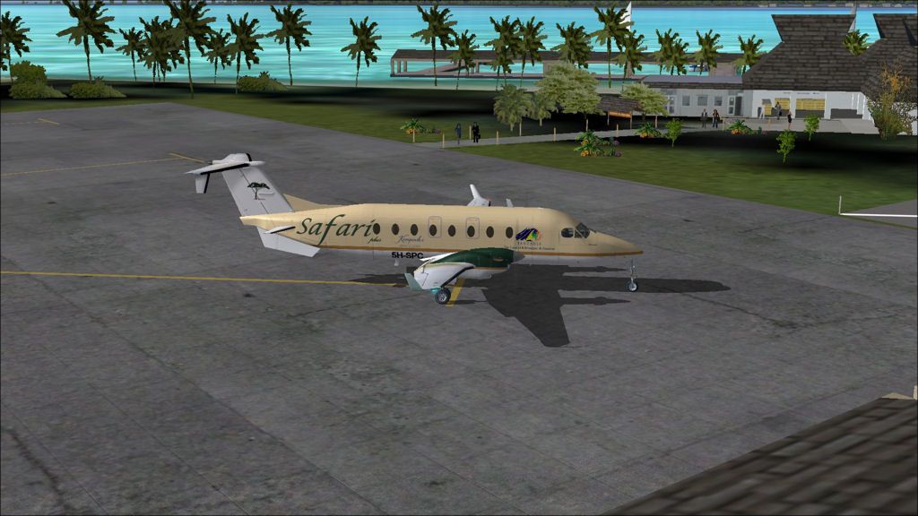
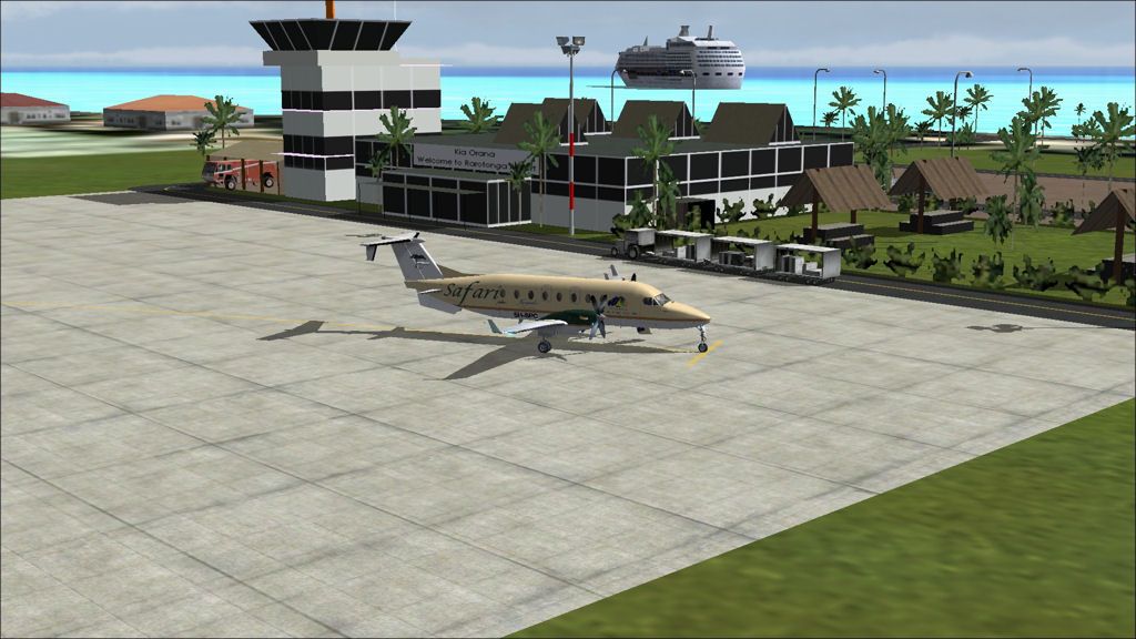
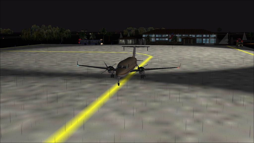
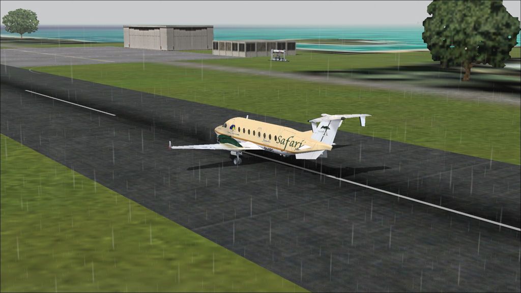
Taxi in at Totegegie.

SCIP - NTGJ stats

Takeoff time:   0630
Landing time:   1147 (-1 hour time difference)
Flight time:      6:17
Fuel used:        2410kgs / 5302lbs