Thursday, 7 June 2012

San Cristobal to Loja

DAY 12, LEG58 - San Cristobal to Loja

Having had a day off in the magnificent Galapagos islands it was time to start the South American part of our tour.  Eventually we will end up in Antarctica before ending this section of the tour heading over the Pacific Ocean for some island hopping.  With so much to see today, it was necessary to get an early start.  This long overwater leg is a good opportunity to re-check our fuel burn figures from the previous leg to ensure we will have enough range for the first trans-Pacific leg.  Our destination is Loja in southern Ecuador.  This small airport has an interesting approach and nice scenery and is well placed to head south into Peru to explore the Nazca lines on our next leg.

Taxi out at Galapagos.

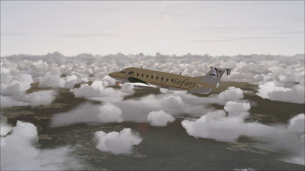
Climb out over the island

Approaching Ecuador at Salinas

Descending into clearer skies
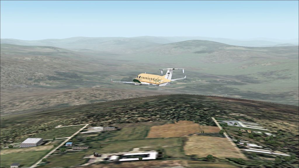
Wide base leg to Loja runway 24
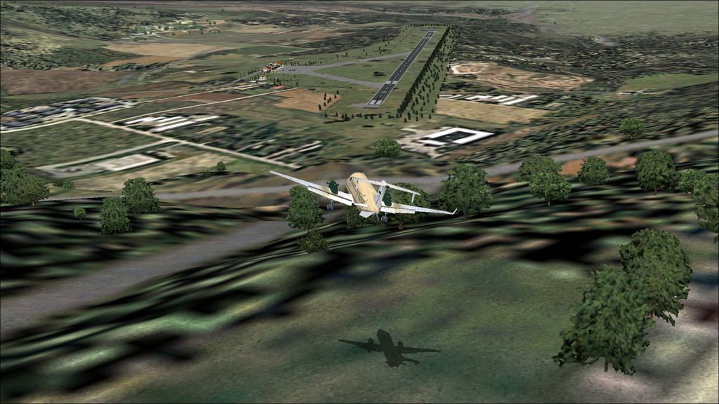
Final for Loja runway 24

Parked at Loja

SEST - SETM stats

Take off time:  0645
Landing time:   0911
Flight time:      02:26
Fuel used:        996kg / 2191lbs

Wednesday, 6 June 2012

Progress report

Central American legs progress so far...


Progress for the tour so far:

Legs:   57
Total time:  113:22
Total distance:  33504nm
Fuel used:    49095kg / 108009lbs

Saturday, 26 May 2012

Panama City to San Cristobal, Galapagos

DAY 10, LEG 57 - Panama City to San Cristobal

We begin our South American journey on this leg and visit the Galapagos Islands.  Our flight leaves Panama shortly before dusk so we have to land at San Cristobal, the largest of the three airports in the Galapagos, because it is the only one that is lit at night.  This leg is a good opportunity to test the aircraft performance over long water legs since our next major event in this tour is crossing the Pacific Ocean which will involve a 5 and a half hour over-water flight to Easter Island.  This will be the longest flight I have ever flown in the B1900D so I will probably need to fly it up to its maximum certified ceiling of Fl310 to increase range as much as possible.  Therefore this leg will be a good chance to test fuel consumption at a range of levels to see which works out the best.  On arrival it is time for a day off on these magical islands!

Take off from Panama City over the Atlantic Canal

Climb out over a cloudy Panama

Sun setting as we head out on our 800nm cruise to the Galapagos

Night time shot of the aircraft in the cruise

Long final to San Cristobal

Short final

MPMG - SEST stats

Take off time:  1730
Landing time:   2035
Flight time:      03:05
Fuel used:        1102kg / 2424lbs

Tegucigalpa to Panama City

DAY 10, LEG 56 - Tegucigalpa to Panama

More sightseeing today as we head to Panama and take the chance to view the magnificent Panama Canal.  The canal took 34 years to build and has far exceeded it's design specifications in terms of the ships it can hold.  It remains a crucial cog in world trade.  Our route takes us along a land route across Costa Rica.  We will land at Gelabert airport which is not the main international airport for Panama, but is closest to the canal and serves domestic destinations.

Taxi out at Tegucigalpa

Cloudy skies over Honduras


Cruise ship on the Atlantic side of the Panama canal

The northernmost lock of the canal

Overhead Gelabert international

On base to land at Gelabert

MHTG - MPMG stats

Take off time:  1450
Landing time:   1705
Flight time:      02:15
Fuel used:        1000kg / 2200lbs

Port-au-Prince to Tegucigalpa

DAY 10, LEG 55 - Port-au-Prince to Tegucigalpa

This leg takes us to the famous Tocontin airport in Tegucigalpa, Honduras.  The airport lies 3,297ft above sea level and has a relatively short runway for commercial airliners.  For our 1900d it presents no problem however.  Take-off performance may be an issue with terrain surrounding the airport but that is for the next leg!

About to line up at Port-au-Prince

Climb out over the hills south of Port-au-Prince

Just enough performance to clear the hills!

Ile a Vache just south of Haiti

Passing Kingston, Jamaica

Overhead Cisne Island

Coasting in over Honduras

Approaching Tegucigalpa

Turning final for Tegucigalpa

MTPP - MHTG stats

Take off time:  1144
Landing time:   1431 (-1 hour time difference)
Flight time:      03:47
Fuel used:        2404kg / 5289 lbs

Saturday, 17 March 2012

Holguin to Port-au-Prince

DAY 10, LEG 54 - Holguin to Port-au-Prince

Following a quick refuel in Holguin, we depart for Haiti's capital city which, like much of the country, was devastated by a severe earthquake in 2010.  Our delivery is part of an ongoing humanitarian aid mission in the country.  Again, we needed to be careful with our fuel burn in order to be under max landing weight for landing so a lower flight level was selected to ensure we could burn enough fuel on this short flight.  The flight test at the beginning of the tour was conducted empty so without fuel stats for a two tonne payload on board, the most fuel we can carry, 800kg, is taken as a precaution.

Parked in Holguin next to a Cuban Ilyushin.

Take off from Holguin.

Cruising over Cuba to the north of Santiago on the south-east coast.

Overflying a large cruise ship on long final to Port-au-Prince.

Final to runway 09.

Parked next to an aircraft you wouldn't expect to see in this part of the world - an Air France A320!  Air France use a small fleet of airbus aircraft to shuttle passengers from Miami across the Caribbean in order to connect with their long-haul services back to France.

MUHG - MTPP stats

Take off time:   0918
Landing time:    1125
Flight time:       01:07
Fuel used:         568kg / 1250lbs

Nassau to Holguin

DAY 10, LEG 53 - Nassau to Holguin

In Nassau we fill up with supplies of aid to take to Haiti where will we land at Port-au-Prince to unload.  In order to take the maximum amount on aid possible (1900kg) we are limited to the amount of fuel we can take and therefore we need to make an intermediate stop in Holguin, Cuba to refuel.

Holguin is a city in south-eastern Cuba and is the international airport serving this part of the country.  It is approximately half way between Nassau and Port-au-Prince so is ideal for our tech stop.

Taxi out at Nassau past two Bahamasair 737s parked on the ramp.

Waiting for a Dash-8 to land before we can line up.

Departing Nassau for Cuba.

Due to our full payload we are limited to landing with 500 kgs of fuel in the tanks.  It looks like we may land with a little more so we decide to descend early to burn more fuel at a lower level so by the time we reach our destination we are comfortably below maximum landing weight.

Carrying out the NDB procedure into Holguin to burn more fuel!

Final into Holguin at max landing weight.

MYNN - MUHG stats

Take off time:   0754
Landing time:    0906
Flight time:      01:12
Fuel used:        597kg / 1313lbs

Monday, 12 March 2012

Governor's Harbour to Nassau

DAY 10, LEG 52 - Governor's Harbour to Nassau

We don't spend long in Governor's Harbour, just enough time to grab some breakfast in a local cafe and then it's time to prepare for our next leg, a short hop to the capital city of the Bahamas, Nassau, just 15 minutes flight time to the west.  We are stopping in Nassau to pick up some very special cargo of humanitarian aid to deliver to Port-au-Prince in Haiti which will be our next stop.

Parked at Governor's Harbour near the beach.

Taxi out to the departure runway.  It becomes evident that there will be a strong crosswind on take off but at least it means a tailwind all the way to Nassau!

Taking off from runway 33 at Governor's Harbour.

Leaving Eleuthera Island behind and climbing to our cruising altitude of 3000 feet.

Overflying Paradise Island just to the northeast of Nassau.

The now disused Princeton Airport.

Overflying the passenger terminal at Nassau Airport on downwind to runway 09.

MYEM - MYNN stats

Take off time:  0715
Landing time:   0734
Flight time:      00:19
Fuel used:        155kg / 341lbs

Bermuda to Governor's Harbour

DAY 10, LEG 51 - Bermuda to Governor's Harbour

After many attempts at flying this leg, on every occasion there was some kind of issue with the aircraft or FS so it has taken some time to get this leg done.  It is no coincidence that this flight tracks straight through the area known as the "Bermuda Triangle"!  I thought about routing back to the US mainland but needed to get down to South America to enjoy the scenery during what is left of their summer.  As such this flight was completed successfully (eventually) but without screenshots.

Governor's Harbour is located on the island of Eleuthera in the Bahamas.  The island is very long and thin and the town is located roughly a third of the way along the island.  The airport mainly serves Nassau, the capital of the Bahamas, and the odd flight to Miami, Florida.

It was time for an early start from Bermuda to make the most of the nice flying conditions and to make the long sea crossing to Eleuthera while there isn't much to see at night.

TXKF - MYEM

Takeoff time:  0500
Landing time:  0701 (-1 hour time difference)
Flight time:    03:01
Fuel used:      1303kg / 2867lbs

Friday, 23 September 2011

Progress report
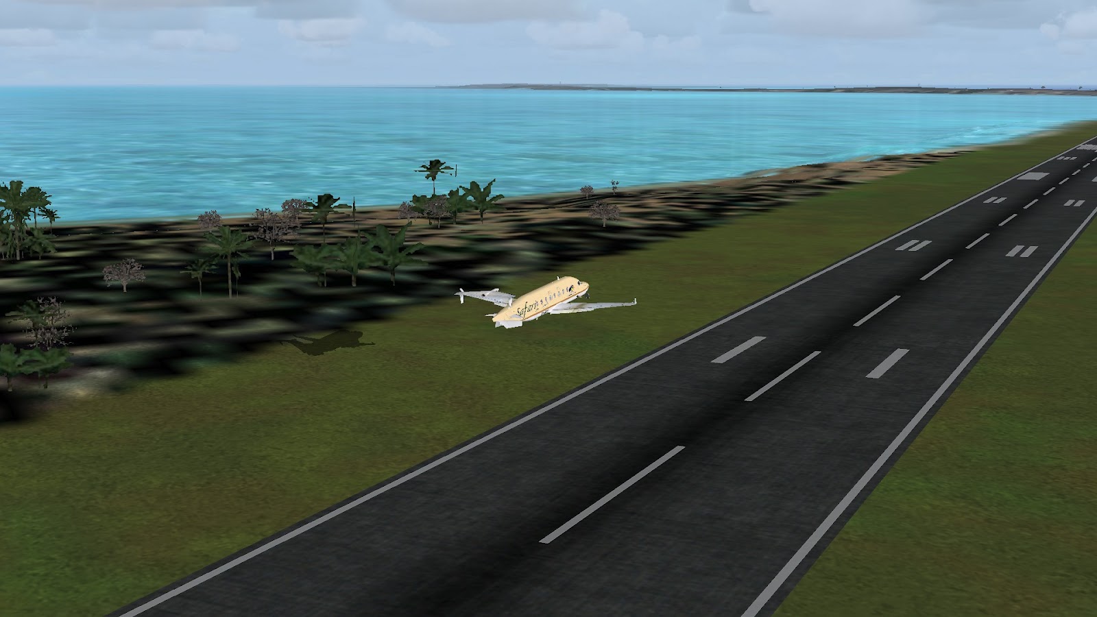
American legs progress so far...


Progress for the tour so far

Legs:   50
Total time:  98:36
Total distance:   27677nm
Fuel used:     41966kg / 92325lbs