Saturday, 11 June 2011

Resolute Bay to Yellowknife

DAY 7, LEG 41 - Resolute Bay to Yellowknife

This will be the last leg of day 7 which has been a very productive day in terms of distance covered on the tour, but very long thanks to the seven hour timezone change we have experienced.  We are heading south to Yellowknife on the shores of the Great Slave Lake in the North West Territories of Canada.  It is our first destination on the mainland of continental America and is a central location for the mining industry in the area.

Lined up at Resolute Bay with the windsock showing a crosswind of at least 20 knots.  In fact, the ATIS was giving gusts of up to 30 knots!

Established in the cruise turning overhead Cambridge Bay.

As we head south the snowy landscape begins to clear.

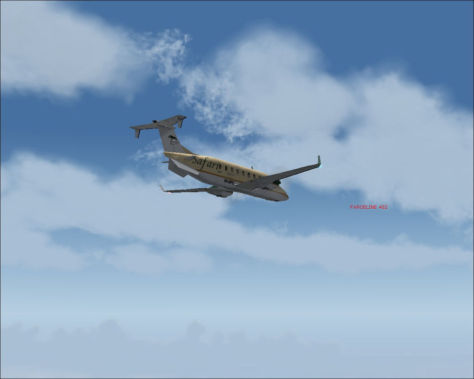
Evidence on the ground of the warmer summer climate south of Cambridge Bay.  We are beginning to experience some turbulence as the 65 knot headwind blows at us.  Our groundspeed is only 230 knots!

We descend to 17,000 feet to escape the turbulence and cloud buildup.  This gives us less of a headwind and a higher TAS which quickens our progress but at the expense of fuel burn.

Descending into Yellowknife as dusk begins to fall.

]
Turning downwind to runway 35.

About to intercept the localizer to runway 35 at Yellowknife over Great Slave Lake.

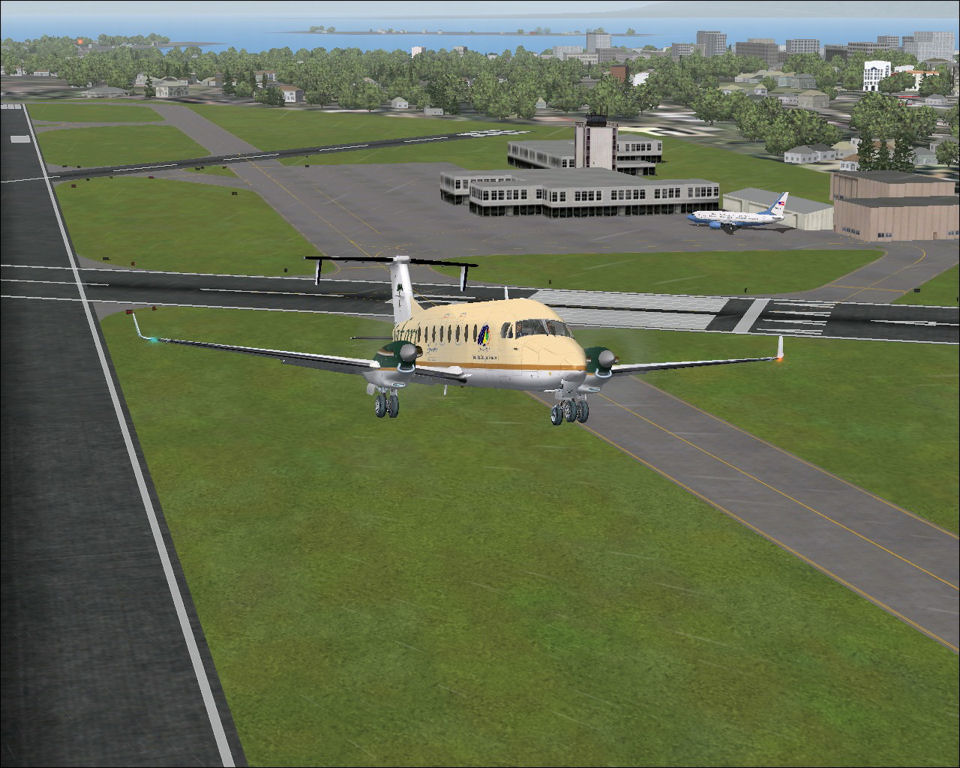
Final approach.
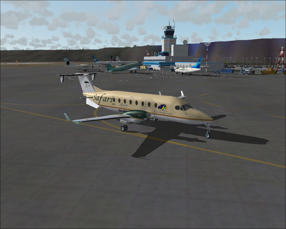
Taxi in past the busy terminal at Yellowknife.

Parking next to the famous Buffalo Airways hangar.

Parked at Yellowknife and unloading our bags for the night.

CYRB - CYZF stats

Take off time:    1556
Landing time:     1816
Flight time:         03:20 (-1 hour time difference)
Fuel used:          1433 kgs / 3153 lbs

Wednesday, 8 June 2011

Ilulissat to Resolute Bay

DAY 7, LEG 40 - Ilulissat to Resolute Bay

The forecast at our destination was for gusting easterly winds and a very low cloud base.  I decided to take full fuel tanks once again to ensure plenty of spare fuel to allow me to hold nearby in case the weather did not permit an immediate landing.  Resolute Bay is very remote so there is not a wide choice of suitable alternates.

The town itself is located on Cornwallis Island on the Northwest Passage.  This sea passage links the east coast of the American continent to the west coast and is now navigable in the summer months due to the rise in global temperatures and subsequent melting of the sea ice. The settlement is only 350nm from the magnetic North Pole.

Taxi out at Ilulissat for the three hour flight to northern Canada.

Lining up in the opposite direction to which we landed.  The winds were only light so we could afford to take a small tailwind for take off.

Lined up on runway 08 checking flight controls before departure.

Shortly after departure from Ilulissat - the nav display reads 849nm to go to Resolute Bay!

A KLM A330 from Amsterdam to Vancouver passes overhead us.

First sight of Baffin Island on the horizon.

Descending through the layers of cloud towards Resolute Bay.  The weather has slightly improved since the original forecast so we should be within limits to shoot the ILS onto runway 35.

Parked at Resolute Bay.

BGJN - CYRB stats

Take off time:    1542
Landing time:     1545 (-3 hours time difference)
Flight time:         03:03
Fuel used:          1276kg / 2807lbs

Saturday, 4 June 2011

Reykjavik to Ilulissat

DAY 7, LEG 39 - Reykjavik to Ilulissat

Our next destination is the first stop on the American continent, though Greenland has closer links to Europe than it does to America.  It is a dependency of Denmark and Ilulissat (also known as Jacobshavn) is the most popular tourist destination in the country due to it's proximity to the local icefjords.  The airport has links to most towns in western Greenland and summer charter flights to Reykjavik.

As we taxi out at Reykjavik a USAF 737 parks on our stand.

Taking off from runway 19.

Overhead Keflavik International Airport, the main gateway to and from Iceland.

Crossing the eastern coast of Greenland.

Flying over the expanse of central Greenland.  The strong headwind means we only have a groundspeed of 250kts which is making for very slow progress across the ice!

Whiteout for miles.

Passing upwind of Ilulissat positioning for a right hand circuit to runway 26.

Downwind at Ilulissat.

Final approach.  Bit low on the PAPIs but with such a short runway an early touchdown is important.

Parked at Ilulissat in between two Air Greenland Twin Otters, the nearest of which has just arrived from nearby Qaarsut.

BIRK - BGJN stats

Take off time:    1509
Landing time:     1525 (-3 hours time difference)
Flight time:         03:16
Fuel used:          1347kg / 2963lbs

Sunday, 29 May 2011

Progress report

European legs progress...


Stats for the tour so far

Legs:             38
Total time:    69:47
Total dist:     19364nm
Fuel used:     29981kg / 65958lbs

Vagar to Reykjavik

DAY 7, LEG 38 - Vagar to Reykjavik

Having checked the volcanic ash charts in Vagar, it's safe to proceed along our next leg to the capital of Iceland, Reykjavik.  The international airport is located at Keflavik, to the west of the city but Reykjavik's airport handles small domestic traffic and is ideal for a stopover on our hop across the Atlantic.

Taking off from Vagar.

Climbing out from Vagar.

Distant view of Iceland on the horizon.

Flying past the famous Vatnajokull glacier, home of the Grimsvotn volcano which has threatened to ground flights in Europe this year.

Turning base for the localizer approach to runway 13 at Reykjavik.

Long final.

Short final.

Parked at Reykjavik.

EKVG - BIRK stats

Take off time:    1417
Landing time:     1457 (-1 hour time difference)
Flight time:        01:40
Fuel used:          712kg / 1566lbs

Wick to Vagar

DAY 7, LEG 37 - Wick to Vagar

This is our first step across the Atlantic Ocean as we stage through Vagar in the Faroe Islands. The Faroes are an autonomous province of Denmark and lie approximately midway between the Scottish Orkney Islands and Iceland.  The airport is located on the edge of the island of Vagar and is surrounded by terrain.  This means the approach to runway 13 is offset and in windy weather can produce some interesting approaches!  I filled up the aircraft at Wick so I could divert to Reykjavik in Iceland should the weather at Vagar make it impossible to land there.

Ready to taxi at Wick as a rain shower passes through.

Holding short of runway 13 behind a Mooney aircraft departing to Inverness.

Duncansby Head and John O'Groats - the most northeasterly part of the UK.

Climbing out past the Orkney Islands.

First view of the Faroe Islands.

Descending into Vagar preparing for the Localizer approach to runway 31.

Passing a Bae-146 of Atlantic Airways from Vagar to Billund, Denmark.

On the localiser to runway 31.

6 mile final to runway 31.

4 mile final going visual and positioning towards the centreline.

Parked at Vagar looking back towards the short runway.

EGPC - EKVG stats

Take off time:    1300
Landing time:     1404
Flight time:        01:04
Fuel used:          498kg / 1096lbs